Area Overview for NG5 6GS
Photos of NG5 6GS
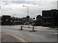
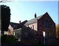
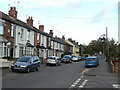
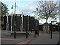
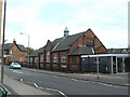
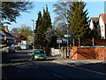
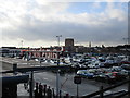
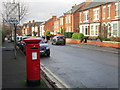
50 photos from this area
Area Information
Key information about the NG5 6GS including its size, population, and administrative classification.
- Area Type
- Postcode
- Area Size
- 8430 m²
- Population
- 1496
- Population Density
- 5955 people/km²
House Prices in NG5 6GS
22
Properties
£133,804
Average Sold Price
£39,000
Lowest Price
£420,000
Highest Price
Showing 22 properties
| Address | Type | Beds | Baths | Last Sale Price | Last Sale Date | |
|---|---|---|---|---|---|---|
| 85 St Albans Road, Daybrook, NG5 6GS | Terraced | 2 | 1 | £186,000 | Dec 2022 | |
| 93 St Albans Road, Daybrook, NG5 6GS | Terraced | 2 | 1 | £116,000 | Feb 2021 | |
| 89 St Albans Road, Daybrook, NG5 6GS | Terraced | 2 | 1 | £123,055 | May 2020 | |
| 95 St Albans Road, Daybrook, NG5 6GS | Terraced | 2 | 1 | £135,000 | Sep 2019 | |
| 99 St Albans Road, Daybrook, NG5 6GS | Terraced | 2 | 1 | £85,000 | Jun 2013 | |
| 107 St Albans Road, Daybrook, NG5 6GS | Terraced | 2 | 1 | £72,500 | Apr 2013 | |
| 81 St Albans Road, Daybrook, NG5 6GS | Semi-detached | 1 | 2 | £148,500 | Mar 2009 | |
| 105 St Albans Road, Daybrook, NG5 6GS | Terraced | - | - | £120,000 | Aug 2007 | |
| 64 St Albans Road, Arnold, NG5 6GS | Semi-detached | - | - | £420,000 | Jun 2007 | |
| 97 St Albans Road, Daybrook, NG5 6GS | Terraced | - | - | £117,000 | Dec 2006 |
Page 1 of 3
Energy Efficiency in NG5 6GS
Amenities
Schools
| Rank | School | Type | Entry gender | Ages |
|---|
Explore more schools in this area
Go to Schools tabDemographics
Household Size
One person
most common
Accommodation Type
Houses
most common
Tenure
55
majority
Ethnic Group
White
most common
Religion
N/A
most common
Household Composition
N/A
most common
Age
47
median
Adults (30-64 years)
most common
Household Deprivation
N/A
with no deprivation
NS-SEC
28
in Lower managerial occupations
Explore more demographic insights in this area
Go to Demographics tabPlanning
Planning Constraints
- Flood RiskPremium
- Ramsar Wetland SitesPremium
- Area of Outstanding Natural BeautyPremium
- Protected Nature ReservePremium
- Protected WoodlandPremium