Area Overview for NG5 6AT
Photos of NG5 6AT
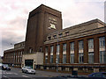
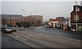
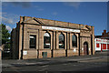
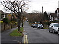
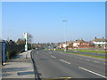

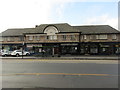
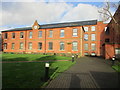
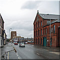
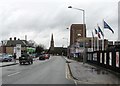
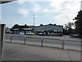
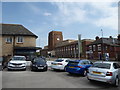
82 photos from this area
Area Information
Key information about the NG5 6AT including its size, population, and administrative classification.
- Area Type
- Postcode
- Area Size
- 2.2 hectares
- Population
- 1925
- Population Density
- 4831 people/km²
House Prices in NG5 6AT
17
Properties
£299,000
Average Sold Price
£187,000
Lowest Price
£510,000
Highest Price
Showing 17 properties
| Address | Type | Beds | Baths | Last Sale Price | Last Sale Date | |
|---|---|---|---|---|---|---|
| 156 Sherbrook Road, Daybrook, NG5 6AT | Semi-detached | 3 | 1 | £187,000 | Sep 2024 | |
| 150 Sherbrook Road, Daybrook, NG5 6AT | Semi-detached | 3 | 1 | £200,000 | Jan 2024 | |
| 140 Sherbrook Road, Daybrook, NG5 6AT | Flat | - | - | £510,000 | Apr 2017 | |
| 132 Sherbrook Road, Daybrook, NG5 6AT | Flat | 3 | - | - | - | |
| 138 Sherbrook Road, Daybrook, NG5 6AT | Flat | - | - | - | - | |
| 134 Sherbrook Road, Daybrook, NG5 6AT | Flat | - | - | - | - | |
| 136 Sherbrook Road, Daybrook, NG5 6AT | Flat | - | - | - | - | |
| Ang Classic Car Parts, Units 16 And 17, Sherbrook Business Centre, Sherbrook Road, Daybrook, NG5 6AT | shop | - | - | - | - | |
| Unit 1, Sherbrook Business Centre, Sherbrook Road, Daybrook, NG5 6AT | warehouse | - | - | - | - | |
| Unit H, Sherbrook Business Centre, Sherbrook Road, Daybrook, NG5 6AT | storage_distribution | - | - | - | - |
Page 1 of 2
Energy Efficiency in NG5 6AT
Amenities
Schools
| Rank | School | Type | Entry gender | Ages |
|---|
Explore more schools in this area
Go to Schools tabDemographics
Household Size
One person
most common
Accommodation Type
Houses
most common
Tenure
56
majority
Ethnic Group
White
most common
Religion
N/A
most common
Household Composition
N/A
most common
Age
47
median
Adults (30-64 years)
most common
Household Deprivation
N/A
with no deprivation
NS-SEC
26
in Lower managerial occupations
Explore more demographic insights in this area
Go to Demographics tabPlanning
Planning Constraints
- Flood RiskPremium
- Ramsar Wetland SitesPremium
- Area of Outstanding Natural BeautyPremium
- Protected Nature ReservePremium
- Protected WoodlandPremium