Area Overview for NG5 1FG
Photos of NG5 1FG
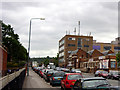
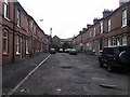

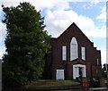
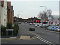
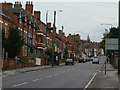
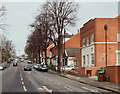

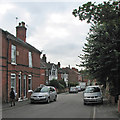
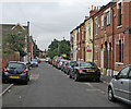
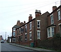
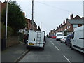
100 photos from this area
Area Information
Key information about the NG5 1FG including its size, population, and administrative classification.
- Area Type
- Postcode
- Area Size
- 5110 m²
- Population
- 1557
- Population Density
- 10032 people/km²
House Prices in NG5 1FG
16
Properties
£181,833
Average Sold Price
£44,500
Lowest Price
£300,000
Highest Price
Showing 16 properties
| Address | Type | Beds | Baths | Last Sale Price | Last Sale Date | |
|---|---|---|---|---|---|---|
| 304 Hucknall Road, Nottingham, NG5 1FG | Terraced | 4 | 1 | £165,000 | Sep 2024 | |
| 310 Hucknall Road, Nottingham, NG5 1FG | Terraced | 4 | 1 | £190,000 | Jan 2023 | |
| 316 Hucknall Road, Nottingham, NG5 1FG | Terraced | 4 | 2 | £255,000 | Oct 2022 | |
| 300 Hucknall Road, Nottingham, NG5 1FG | Terraced | 4 | 1 | £230,000 | Feb 2022 | |
| 302 Hucknall Road, Nottingham, NG5 1FG | Terraced | 4 | 2 | £240,000 | Jun 2021 | |
| 316A Hucknall Road, Nottingham, NG5 1FG | Bungalow | 3 | 1 | £300,000 | Jan 2016 | |
| 312 Hucknall Road, Nottingham, NG5 1FG | Terraced | 1 | 2 | £144,000 | Jul 2004 | |
| 314 Hucknall Road, Nottingham, NG5 1FG | house | 4 | 2 | £68,000 | Nov 2001 | |
| 298 Hucknall Road, Nottingham, NG5 1FG | house | - | - | £44,500 | Feb 1997 | |
| Apartment 3, Haydn Court, 286 Hucknall Road, Nottingham, NG5 1FG | Flat | 2 | 2 | - | - |
Page 1 of 2
Energy Efficiency in NG5 1FG
Amenities
Schools
| Rank | School | Type | Entry gender | Ages |
|---|
Explore more schools in this area
Go to Schools tabDemographics
Household Size
Two person
most common
Accommodation Type
Houses
most common
Tenure
60
majority
Ethnic Group
White
most common
Religion
N/A
most common
Household Composition
N/A
most common
Age
47
median
Adults (30-64 years)
most common
Household Deprivation
N/A
with no deprivation
NS-SEC
48
in Lower managerial occupations
Explore more demographic insights in this area
Go to Demographics tabPlanning
Planning Constraints
- Flood RiskPremium
- Ramsar Wetland SitesPremium
- Area of Outstanding Natural BeautyPremium
- Protected Nature ReservePremium
- Protected WoodlandPremium