Area Overview for NG3 4FX
Photos of NG3 4FX
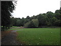
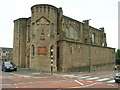
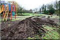
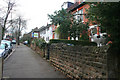
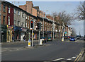
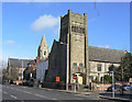
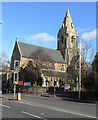
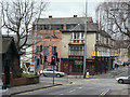
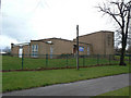
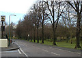
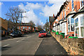
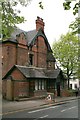
100 photos from this area
Area Information
Key information about the NG3 4FX including its size, population, and administrative classification.
- Area Type
- Postcode
- Area Size
- 6740 m²
- Population
- 1755
- Population Density
- 8232 people/km²
House Prices in NG3 4FX
26
Properties
£88,496
Average Sold Price
£58,000
Lowest Price
£160,000
Highest Price
Showing 26 properties
| Address | Type | Beds | Baths | Last Sale Price | Last Sale Date | |
|---|---|---|---|---|---|---|
| 11 Lorne Walk, Nottingham, NG3 4FX | Terraced | 3 | 1 | £160,000 | Jan 2023 | |
| 16 Lorne Walk, Nottingham, NG3 4FX | house | - | - | £121,000 | Oct 2019 | |
| 14 Lorne Walk, Nottingham, NG3 4FX | Detached | 3 | 2 | £125,000 | Apr 2019 | |
| 13 Lorne Walk, Nottingham, NG3 4FX | Detached | 3 | 1 | £66,000 | Oct 2017 | |
| 19 Lorne Walk, Nottingham, NG3 4FX | Terraced | - | - | £68,715 | Jul 2008 | |
| 15 Lorne Walk, Nottingham, NG3 4FX | house | - | - | £58,000 | Jan 2008 | |
| 12 Lorne Walk, Nottingham, NG3 4FX | house | - | - | £76,000 | Apr 2007 | |
| 8 Lorne Walk, Nottingham, NG3 4FX | house | - | - | £61,750 | Nov 2005 | |
| 10 Lorne Walk, Nottingham, NG3 4FX | house | 1 | 2 | £60,000 | Jul 2003 | |
| 23 Lorne Walk, Nottingham, NG3 4FX | house | - | - | - | - |
Page 1 of 3
Energy Efficiency in NG3 4FX
Amenities
Schools
| Rank | School | Type | Entry gender | Ages |
|---|
Explore more schools in this area
Go to Schools tabDemographics
Household Size
One person
most common
Accommodation Type
Houses
most common
Tenure
30
majority
Ethnic Group
White
most common
Religion
N/A
most common
Household Composition
N/A
most common
Age
47
median
Adults (30-64 years)
most common
Household Deprivation
N/A
with no deprivation
NS-SEC
15
in Lower managerial occupations
Explore more demographic insights in this area
Go to Demographics tabPlanning
Planning Constraints
- Flood RiskPremium
- Ramsar Wetland SitesPremium
- Area of Outstanding Natural BeautyPremium
- Protected Nature ReservePremium
- Protected WoodlandPremium