Area Overview for NG3 4HB
Photos of NG3 4HB
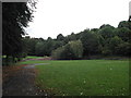
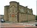
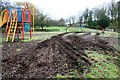
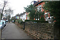
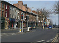
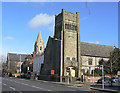
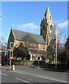
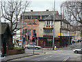
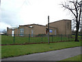
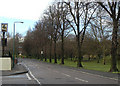
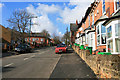
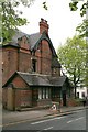
100 photos from this area
Area Information
Key information about the NG3 4HB including its size, population, and administrative classification.
- Area Type
- Postcode
- Area Size
- 9303 m²
- Population
- 1898
- Population Density
- 3017 people/km²
House Prices in NG3 4HB
35
Properties
£148,196
Average Sold Price
£59,950
Lowest Price
£367,500
Highest Price
Showing 35 properties
| Address | Type | Beds | Baths | Last Sale Price | Last Sale Date | |
|---|---|---|---|---|---|---|
| 30 Goldswong Terrace, Nottingham, NG3 4HB | Semi-detached | 3 | 1 | £219,000 | Mar 2023 | |
| 21 Goldswong Terrace, Nottingham, NG3 4HB | house | 5 | - | £367,500 | Oct 2022 | |
| 7 Goldswong Terrace, Nottingham, NG3 4HB | Semi-detached | 5 | 1 | £180,000 | Sep 2017 | |
| 14 Goldswong Terrace, Nottingham, NG3 4HB | Detached | 3 | - | £205,000 | Jul 2016 | |
| 32 Goldswong Terrace, Nottingham, NG3 4HB | Semi-detached | 3 | - | £100,000 | Jul 2015 | |
| 11 Goldswong Terrace, Nottingham, NG3 4HB | Semi-detached | 4 | - | £234,000 | Jul 2014 | |
| 8 Goldswong Terrace, Nottingham, NG3 4HB | house | - | - | £175,000 | Jul 2011 | |
| 12 Goldswong Terrace, Nottingham, NG3 4HB | Semi-detached | - | - | £124,995 | Oct 2008 | |
| 6 Goldswong Terrace, Nottingham, NG3 4HB | Semi-detached | 1 | 2 | £123,000 | Feb 2007 | |
| 29 Goldswong Terrace, Nottingham, NG3 4HB | Terraced | 4 | 2 | £150,000 | Mar 2006 |
Page 1 of 4
Energy Efficiency in NG3 4HB
Amenities
Schools
| Rank | School | Type | Entry gender | Ages |
|---|
Explore more schools in this area
Go to Schools tabDemographics
Household Size
One person
most common
Accommodation Type
Flats
most common
Tenure
26
majority
Ethnic Group
White
most common
Religion
N/A
most common
Household Composition
N/A
most common
Age
22
median
Young Adults (15-29 years)
most common
Household Deprivation
N/A
with no deprivation
NS-SEC
26
in Lower managerial occupations
Explore more demographic insights in this area
Go to Demographics tabPlanning
Planning Constraints
- Flood RiskPremium
- Ramsar Wetland SitesPremium
- Area of Outstanding Natural BeautyPremium
- Protected Nature ReservePremium
- Protected WoodlandPremium