Area Overview for NG25 0AY
Photos of NG25 0AY
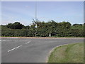
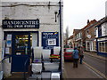
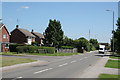
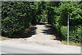
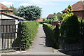

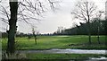
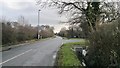
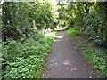
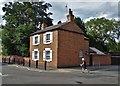
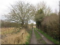
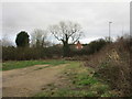
50 photos from this area
Area Information
Key information about the NG25 0AY including its size, population, and administrative classification.
- Area Type
- Postcode
- Area Size
- 1.2 hectares
- Population
- 2135
- Population Density
- 2082 people/km²
House Prices in NG25 0AY
27
Properties
£254,362
Average Sold Price
£59,000
Lowest Price
£1,097,384
Highest Price
Showing 27 properties
| Address | Type | Beds | Baths | Last Sale Price | Last Sale Date | |
|---|---|---|---|---|---|---|
| 42 Kirklington Road, Southwell, NG25 0AY | house | - | - | £221,000 | Feb 2024 | |
| The Bungalow, 2A Kirklington Road, Southwell, NG25 0AY | Detached | 4 | 2 | £495,000 | Dec 2023 | |
| Walnut Lodge, 4B Kirklington Road, Southwell, NG25 0AY | Detached | 3 | 4 | £1,097,384 | Nov 2023 | |
| 40 Kirklington Road, Southwell, NG25 0AY | house | - | - | £282,500 | Dec 2022 | |
| 28 Kirklington Road, Southwell, NG25 0AY | house | - | - | £215,000 | Jun 2021 | |
| 34 Kirklington Road, Southwell, NG25 0AY | house | - | - | £198,000 | Jan 2021 | |
| 50 Kirklington Road, Southwell, NG25 0AY | Detached | 4 | 1 | £280,000 | Nov 2019 | |
| 20 Kirklington Road, Southwell, NG25 0AY | Detached | 3 | 1 | £325,000 | Aug 2017 | |
| 30 Kirklington Road, Southwell, NG25 0AY | Cottage | 2 | 1 | £150,000 | Feb 2016 | |
| 48 Kirklington Road, Southwell, NG25 0AY | Semi-detached | 3 | 1 | £275,000 | May 2015 |
Page 1 of 3
Energy Efficiency in NG25 0AY
Amenities
Schools
| Rank | School | Type | Entry gender | Ages |
|---|
Explore more schools in this area
Go to Schools tabDemographics
Household Size
Two person
most common
Accommodation Type
Houses
most common
Tenure
81
majority
Ethnic Group
White
most common
Religion
N/A
most common
Household Composition
N/A
most common
Age
47
median
Adults (30-64 years)
most common
Household Deprivation
N/A
with no deprivation
NS-SEC
40
in Lower managerial occupations
Explore more demographic insights in this area
Go to Demographics tabPlanning
Planning Constraints
- Flood RiskPremium
- Ramsar Wetland SitesPremium
- Area of Outstanding Natural BeautyPremium
- Protected Nature ReservePremium
- Protected WoodlandPremium