Area Overview for NG22 8QF
Photos of NG22 8QF
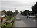
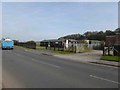
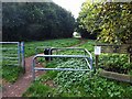

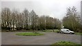

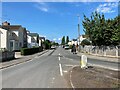
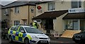
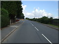
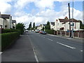
18 photos from this area
Area Information
Key information about the NG22 8QF including its size, population, and administrative classification.
- Area Type
- Postcode
- Area Size
- 1.4 hectares
- Population
- 1987
- Population Density
- 1395 people/km²
House Prices in NG22 8QF
36
Properties
£1,817,032
Average Sold Price
£27,995
Lowest Price
£15,696,793
Highest Price
Showing 36 properties
| Address | Type | Beds | Baths | Last Sale Price | Last Sale Date | |
|---|---|---|---|---|---|---|
| 102 Crompton Road, Bilsthorpe, NG22 8QF | house | - | - | £107,500 | Jan 2021 | |
| 111 Crompton Road, Bilsthorpe, NG22 8QF | Semi-detached | 2 | 1 | £115,000 | Nov 2020 | |
| 115 Crompton Road, Bilsthorpe, NG22 8QF | Semi-detached | 2 | 1 | £90,000 | Sep 2020 | |
| 104 Crompton Road, Bilsthorpe, NG22 8QF | house | - | - | £15,696,793 | Feb 2019 | |
| 114 Crompton Road, Bilsthorpe, NG22 8QF | Semi-detached | 3 | - | £89,500 | Jul 2017 | |
| 113 Crompton Road, Bilsthorpe, NG22 8QF | Semi-detached | 3 | 1 | £67,500 | Sep 2013 | |
| 112 Crompton Road, Bilsthorpe, NG22 8QF | Semi-detached | 4 | - | £91,000 | Jun 2013 | |
| 101 Crompton Road, Bilsthorpe, NG22 8QF | Detached | 3 | 1 | £68,000 | May 2004 | |
| 108 Crompton Road, Bilsthorpe, NG22 8QF | Semi-detached | - | - | £27,995 | May 2001 | |
| 88 Crompton Road, Bilsthorpe, NG22 8QF | Semi-detached | 3 | 2 | - | - |
Page 1 of 4
Energy Efficiency in NG22 8QF
Amenities
Schools
| Rank | School | Type | Entry gender | Ages |
|---|
Explore more schools in this area
Go to Schools tabDemographics
Household Size
Two person
most common
Accommodation Type
Houses
most common
Tenure
53
majority
Ethnic Group
White
most common
Religion
N/A
most common
Household Composition
N/A
most common
Age
47
median
Adults (30-64 years)
most common
Household Deprivation
N/A
with no deprivation
NS-SEC
17
in Lower managerial occupations
Explore more demographic insights in this area
Go to Demographics tabPlanning
Planning Constraints
- Flood RiskPremium
- Ramsar Wetland SitesPremium
- Area of Outstanding Natural BeautyPremium
- Protected Nature ReservePremium
- Protected WoodlandPremium