Area Overview for NG20 0HZ
Photos of NG20 0HZ
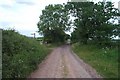
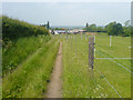
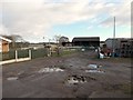
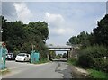
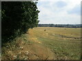
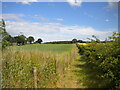
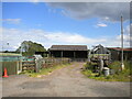
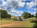
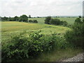
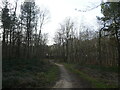
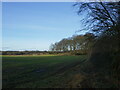
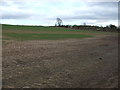
18 photos from this area
Area Information
Key information about the NG20 0HZ including its size, population, and administrative classification.
- Area Type
- Postcode
- Area Size
- 9252 m²
- Population
- 1553
- Population Density
- 3067 people/km²
House Prices in NG20 0HZ
18
Properties
£87,795
Average Sold Price
£35,950
Lowest Price
£115,000
Highest Price
Showing 18 properties
| Address | Type | Beds | Baths | Last Sale Price | Last Sale Date | |
|---|---|---|---|---|---|---|
| 39 Little John Avenue, Warsop, NG20 0HZ | Semi-detached | 3 | 1 | £110,000 | Oct 2016 | |
| 59 Little John Avenue, Warsop, NG20 0HZ | Semi-detached | 4 | 2 | £80,000 | Nov 2015 | |
| 57 Little John Avenue, Warsop, NG20 0HZ | Semi-detached | 3 | - | £90,000 | Aug 2015 | |
| 49 Little John Avenue, Warsop, NG20 0HZ | Semi-detached | 4 | - | £115,000 | Jul 2015 | |
| 62 Little John Avenue, Warsop, NG20 0HZ | house | - | - | £72,500 | May 2014 | |
| 51 Little John Avenue, Warsop, NG20 0HZ | Semi-detached | 3 | - | £95,000 | Aug 2013 | |
| 47 Little John Avenue, Warsop, NG20 0HZ | Semi-detached | 3 | - | £90,000 | Jul 2006 | |
| 43 Little John Avenue, Warsop, NG20 0HZ | Semi-detached | 3 | 1 | £108,500 | Aug 2005 | |
| 53 Little John Avenue, Warsop, NG20 0HZ | Semi-detached | - | - | £81,000 | May 2004 | |
| 58 Little John Avenue, Warsop, NG20 0HZ | Semi-detached | - | - | £35,950 | Oct 1999 |
Page 1 of 2
Energy Efficiency in NG20 0HZ
Amenities
Schools
| Rank | School | Type | Entry gender | Ages |
|---|
Explore more schools in this area
Go to Schools tabDemographics
Household Size
Two person
most common
Accommodation Type
Houses
most common
Tenure
67
majority
Ethnic Group
White
most common
Religion
N/A
most common
Household Composition
N/A
most common
Age
47
median
Adults (30-64 years)
most common
Household Deprivation
N/A
with no deprivation
NS-SEC
20
in Lower managerial occupations
Explore more demographic insights in this area
Go to Demographics tabPlanning
Planning Constraints
- Flood RiskPremium
- Ramsar Wetland SitesPremium
- Area of Outstanding Natural BeautyPremium
- Protected Nature ReservePremium
- Protected WoodlandPremium