Area Overview for NG20 0JF
Photos of NG20 0JF
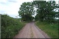
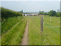
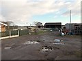
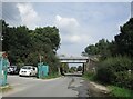
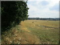
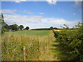
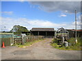
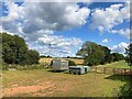
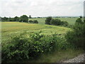
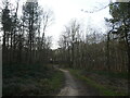
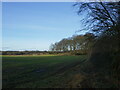
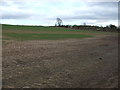
18 photos from this area
Area Information
Key information about the NG20 0JF including its size, population, and administrative classification.
- Area Type
- Postcode
- Area Size
- 79.7 hectares
- Population
- 1756
- Population Density
- 184 people/km²
House Prices in NG20 0JF
15
Properties
£134,020
Average Sold Price
£44,500
Lowest Price
£270,000
Highest Price
Showing 15 properties
| Address | Type | Beds | Baths | Last Sale Price | Last Sale Date | |
|---|---|---|---|---|---|---|
| Holmcroft, Oakfield Lane, Warsop, NG20 0JF | house | 4 | 1 | £270,000 | Dec 2020 | |
| Jaymar, Oakfield Lane, Warsop, NG20 0JF | Semi-detached | 3 | 1 | £118,000 | Feb 2014 | |
| The Acorns, Oakfield Lane, Warsop, NG20 0JF | Bungalow | - | - | £108,000 | Feb 2014 | |
| Oakside, Oakfield Lane, Warsop, NG20 0JF | house | - | - | £90,750 | Nov 2009 | |
| Treetops, Oakfield Lane, Warsop, NG20 0JF | Detached | - | - | £218,000 | Oct 2007 | |
| Appledene, Oakfield Lane, Warsop, NG20 0JF | Semi-detached | - | - | £149,950 | Aug 2006 | |
| Lyndale, Oakfield Lane, Warsop, NG20 0JF | Detached | - | - | £123,000 | Aug 2004 | |
| Greenacres, Oakfield Lane, Warsop, NG20 0JF | Detached | - | - | £160,000 | Mar 2002 | |
| Tansley, Oakfield Lane, Warsop, NG20 0JF | Semi-detached | 2 | 1 | £44,500 | Jan 2001 | |
| Overland, Oakfield Lane, Warsop, NG20 0JF | house | - | - | £58,000 | Nov 1997 |
Page 1 of 2
Energy Efficiency in NG20 0JF
Amenities
Schools
| Rank | School | Type | Entry gender | Ages |
|---|
Explore more schools in this area
Go to Schools tabDemographics
Household Size
Two person
most common
Accommodation Type
Houses
most common
Tenure
74
majority
Ethnic Group
White
most common
Religion
N/A
most common
Household Composition
N/A
most common
Age
47
median
Adults (30-64 years)
most common
Household Deprivation
N/A
with no deprivation
NS-SEC
21
in Lower managerial occupations
Explore more demographic insights in this area
Go to Demographics tabPlanning
Planning Constraints
- Flood RiskPremium
- Ramsar Wetland SitesPremium
- Area of Outstanding Natural BeautyPremium
- Protected Nature ReservePremium
- Protected WoodlandPremium