Area Overview for NG17 5FW
Photos of NG17 5FW


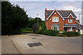
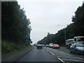
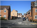
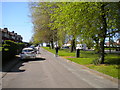
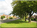
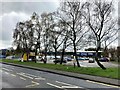
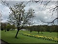
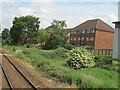

34 photos from this area
Area Information
Key information about the NG17 5FW including its size, population, and administrative classification.
- Area Type
- Postcode
- Area Size
- 1.9 hectares
- Population
- 2384
- Population Density
- 1508 people/km²
House Prices in NG17 5FW
12
Properties
£152,625
Average Sold Price
£53,000
Lowest Price
£295,000
Highest Price
Showing 12 properties
| Address | Type | Beds | Baths | Last Sale Price | Last Sale Date | |
|---|---|---|---|---|---|---|
| Mount Beck, 49 Station Road, Sutton In Ashfield, NG17 5FW | Semi-detached | 3 | 1 | £152,000 | Jul 2020 | |
| 47 Station Road, Sutton In Ashfield, NG17 5FW | Terraced | 1 | 1 | £95,000 | Apr 2018 | |
| 41 Station Road, Sutton In Ashfield, NG17 5FW | Detached | 4 | 2 | £250,000 | Mar 2017 | |
| 61 Station Road, Sutton In Ashfield, NG17 5FW | house | 3 | 1 | £132,000 | Jun 2015 | |
| 43 Station Road, Sutton In Ashfield, NG17 5FW | Semi-detached | 3 | - | £110,000 | Jun 2015 | |
| 57 Station Road, Sutton In Ashfield, NG17 5FW | Semi-detached | 3 | - | £134,000 | Jul 2014 | |
| Bathwood Manor, 53A Station Road, Sutton In Ashfield, NG17 5FW | Detached | 8 | 9 | £295,000 | Nov 2004 | |
| 45 Station Road, Sutton In Ashfield, NG17 5FW | Semi-detached | 3 | 1 | £53,000 | Jul 1999 | |
| 59 Station Road, Sutton In Ashfield, NG17 5FW | Detached | 3 | 1 | - | - | |
| 51 Station Road, Sutton In Ashfield, NG17 5FW | Detached | - | - | - | - |
Page 1 of 2
Energy Efficiency in NG17 5FW
Amenities
Schools
| Rank | School | Type | Entry gender | Ages |
|---|
Explore more schools in this area
Go to Schools tabDemographics
Household Size
Family (3-5 people)
most common
Accommodation Type
Houses
most common
Tenure
75
majority
Ethnic Group
White
most common
Religion
N/A
most common
Household Composition
N/A
most common
Age
47
median
Adults (30-64 years)
most common
Household Deprivation
N/A
with no deprivation
NS-SEC
28
in Lower managerial occupations
Explore more demographic insights in this area
Go to Demographics tabPlanning
Planning Constraints
- Flood RiskPremium
- Ramsar Wetland SitesPremium
- Area of Outstanding Natural BeautyPremium
- Protected Nature ReservePremium
- Protected WoodlandPremium