Area Overview for NG17 5FH
Photos of NG17 5FH
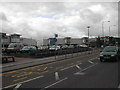
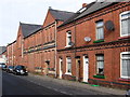
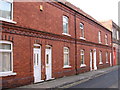
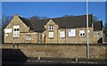
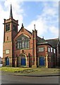
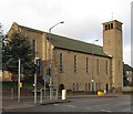
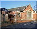
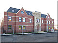
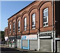
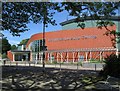
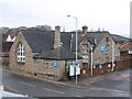
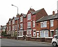
66 photos from this area
Area Information
Key information about the NG17 5FH including its size, population, and administrative classification.
- Area Type
- Postcode
- Area Size
- 3.2 hectares
- Population
- 2013
- Population Density
- 4441 people/km²
House Prices in NG17 5FH
15
Properties
-
Average Sold Price
-
Lowest Price
-
Highest Price
Showing 15 properties
| Address | Type | Beds | Baths | Last Sale Price | Last Sale Date | |
|---|---|---|---|---|---|---|
| 27 Hardwick Street, Sutton In Ashfield, NG17 5FH | undefined | - | - | - | - | |
| 25 Hardwick Street, Sutton In Ashfield, NG17 5FH | undefined | - | - | - | - | |
| 21 Hardwick Street, Sutton In Ashfield, NG17 5FH | undefined | - | - | - | - | |
| 23 Hardwick Street, Sutton In Ashfield, NG17 5FH | undefined | - | - | - | - | |
| 17 Hardwick Street, Sutton In Ashfield, NG17 5FH | undefined | - | - | - | - | |
| 19 Hardwick Street, Sutton In Ashfield, NG17 5FH | undefined | - | - | - | - | |
| 15 Hardwick Street, Sutton In Ashfield, NG17 5FH | undefined | - | - | - | - | |
| Whitlock House, 46 Station Road, Sutton In Ashfield, NG17 5FH | house | - | - | - | - | |
| Amazon Uk Services Ltd, Delivery Locker At Unit C, The Broad Centre, Station Road, Sutton In Ashfield, NG17 5FH | Retail | - | - | - | - | |
| Unit B1, The Broad Centre, Station Road, Sutton In Ashfield, NG17 5FH | restaurant_cafe | - | - | - | - |
Page 1 of 2
Energy Efficiency in NG17 5FH
Amenities
Schools
| Rank | School | Type | Entry gender | Ages |
|---|
Explore more schools in this area
Go to Schools tabDemographics
Household Size
One person
most common
Accommodation Type
Houses
most common
Tenure
43
majority
Ethnic Group
White
most common
Religion
N/A
most common
Household Composition
N/A
most common
Age
47
median
Adults (30-64 years)
most common
Household Deprivation
N/A
with no deprivation
NS-SEC
16
in Lower managerial occupations
Explore more demographic insights in this area
Go to Demographics tabPlanning
Planning Constraints
- Flood RiskPremium
- Ramsar Wetland SitesPremium
- Area of Outstanding Natural BeautyPremium
- Protected Nature ReservePremium
- Protected WoodlandPremium