Area Overview for NG17 5FF
Photos of NG17 5FF
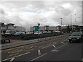
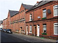
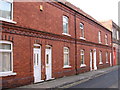
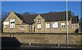
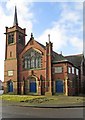
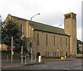
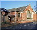
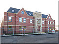
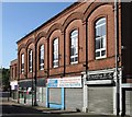

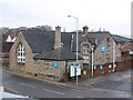
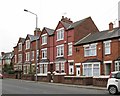
66 photos from this area
Area Information
Key information about the NG17 5FF including its size, population, and administrative classification.
- Area Type
- Postcode
- Area Size
- 2.0 hectares
- Population
- 2013
- Population Density
- 4441 people/km²
House Prices in NG17 5FF
16
Properties
£81,000
Average Sold Price
£24,000
Lowest Price
£130,000
Highest Price
Showing 16 properties
| Address | Type | Beds | Baths | Last Sale Price | Last Sale Date | |
|---|---|---|---|---|---|---|
| 29 Station Road, Sutton In Ashfield, NG17 5FF | house | - | - | £130,000 | Dec 2021 | |
| 21 Station Road, Sutton In Ashfield, NG17 5FF | Terraced | 2 | 1 | £89,000 | Jul 2018 | |
| 25 Station Road, Sutton In Ashfield, NG17 5FF | house | 2 | - | £24,000 | Nov 1996 | |
| 39 Station Road, Sutton In Ashfield, NG17 5FF | Terraced | 3 | 1 | - | - | |
| 11-13 Station Road, Sutton In Ashfield, NG17 5FF | Land | - | - | - | - | |
| 33 Station Road, Sutton In Ashfield, NG17 5FF | Terraced | - | - | - | - | |
| Laurel House, 5 Station Road, Sutton In Ashfield, NG17 5FF | Detached | - | - | - | - | |
| 23 Station Road, Sutton In Ashfield, NG17 5FF | house | - | - | - | - | |
| 35 Station Road, Sutton In Ashfield, NG17 5FF | Terraced | - | - | - | - | |
| 27 Station Road, Sutton In Ashfield, NG17 5FF | house | - | - | - | - |
Page 1 of 2
Energy Efficiency in NG17 5FF
Amenities
Schools
| Rank | School | Type | Entry gender | Ages |
|---|
Explore more schools in this area
Go to Schools tabDemographics
Household Size
One person
most common
Accommodation Type
Houses
most common
Tenure
43
majority
Ethnic Group
White
most common
Religion
N/A
most common
Household Composition
N/A
most common
Age
47
median
Adults (30-64 years)
most common
Household Deprivation
N/A
with no deprivation
NS-SEC
16
in Lower managerial occupations
Explore more demographic insights in this area
Go to Demographics tabPlanning
Planning Constraints
- Flood RiskPremium
- Ramsar Wetland SitesPremium
- Area of Outstanding Natural BeautyPremium
- Protected Nature ReservePremium
- Protected WoodlandPremium