Area Overview for NG16 2GG
Photos of NG16 2GG
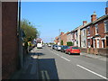
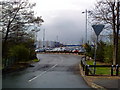
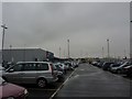
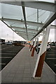
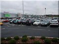
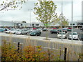
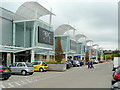
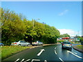
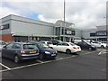
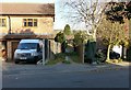
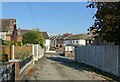
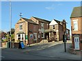
43 photos from this area
Area Information
Key information about the NG16 2GG including its size, population, and administrative classification.
- Area Type
- Postcode
- Area Size
- 2258 m²
- Population
- 1702
- Population Density
- 1792 people/km²
House Prices in NG16 2GG
12
Properties
£71,075
Average Sold Price
£18,600
Lowest Price
£140,000
Highest Price
Showing 12 properties
| Address | Type | Beds | Baths | Last Sale Price | Last Sale Date | |
|---|---|---|---|---|---|---|
| 483 Nottingham Road, Giltbrook, NG16 2GG | Terraced | 3 | 1 | £140,000 | Jul 2023 | |
| 497 Nottingham Road, Giltbrook, NG16 2GG | Terraced | 2 | 1 | £110,000 | Feb 2020 | |
| 485 Nottingham Road, Giltbrook, NG16 2GG | Terraced | 3 | - | £80,000 | Oct 2009 | |
| 491 Nottingham Road, Giltbrook, NG16 2GG | house | - | - | £72,000 | Apr 2006 | |
| 489 Nottingham Road, Giltbrook, NG16 2GG | Terraced | 2 | 1 | £80,000 | Aug 2005 | |
| 499 Nottingham Road, Giltbrook, NG16 2GG | Terraced | - | - | £35,000 | Oct 2002 | |
| 495 Nottingham Road, Giltbrook, NG16 2GG | house | - | - | £18,600 | Jul 1997 | |
| 487 Nottingham Road, Giltbrook, NG16 2GG | Terraced | - | - | £33,000 | Nov 1996 | |
| 501 Nottingham Road, Giltbrook, NG16 2GG | Semi-detached | 3 | 1 | - | - | |
| 493A Nottingham Road, Giltbrook, NG16 2GG | Flat | 3 | 1 | - | - |
Page 1 of 2
Energy Efficiency in NG16 2GG
Amenities
Schools
| Rank | School | Type | Entry gender | Ages |
|---|
Explore more schools in this area
Go to Schools tabDemographics
Household Size
Two person
most common
Accommodation Type
Houses
most common
Tenure
82
majority
Ethnic Group
White
most common
Religion
N/A
most common
Household Composition
N/A
most common
Age
47
median
Adults (30-64 years)
most common
Household Deprivation
N/A
with no deprivation
NS-SEC
31
in Lower managerial occupations
Explore more demographic insights in this area
Go to Demographics tabPlanning
Planning Constraints
- Flood RiskPremium
- Ramsar Wetland SitesPremium
- Area of Outstanding Natural BeautyPremium
- Protected Nature ReservePremium
- Protected WoodlandPremium