Area Overview for NG14 7ED
Photos of NG14 7ED
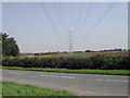
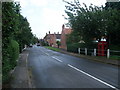
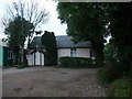
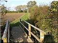
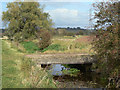
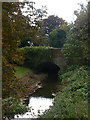
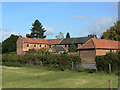
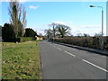
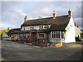
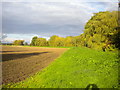
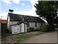
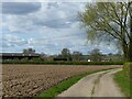
51 photos from this area
Area Information
Key information about the NG14 7ED including its size, population, and administrative classification.
- Area Type
- Postcode
- Area Size
- 46.0 hectares
- Population
- 1613
- Population Density
- 185 people/km²
House Prices in NG14 7ED
30
Properties
£477,511
Average Sold Price
£45,000
Lowest Price
£1,360,000
Highest Price
Showing 30 properties
| Address | Type | Beds | Baths | Last Sale Price | Last Sale Date | |
|---|---|---|---|---|---|---|
| Mill House, 24 Main Street, Caythorpe, NG14 7ED | Detached | 5 | 4 | £1,360,000 | Jul 2023 | |
| Brook Cottage, 12 Main Street, Caythorpe, NG14 7ED | house | - | - | £650,000 | Jun 2023 | |
| Branston Cottage, 25 Main Street, Caythorpe, NG14 7ED | Cottage | 4 | 2 | £680,000 | Aug 2022 | |
| Ivy Cottage, 8 Main Street, Caythorpe, NG14 7ED | Terraced | - | - | £440,000 | Nov 2019 | |
| Briar Cottage, 9 Main Street, Caythorpe, NG14 7ED | Bungalow | 3 | 1 | £290,000 | Nov 2019 | |
| Wayside, 17 Main Street, Caythorpe, NG14 7ED | Detached | 3 | 3 | £500,000 | May 2019 | |
| Beckfield Barn, 39 Main Street, Caythorpe, NG14 7ED | Detached | 5 | 2 | £595,000 | Jun 2018 | |
| Bridge Cottage, 1 Main Street, Caythorpe, NG14 7ED | Cottage | 3 | 3 | £600,000 | Dec 2016 | |
| Home Farm, 35 Main Street, Caythorpe, NG14 7ED | house | - | - | £537,000 | Mar 2016 | |
| Belvoir Cottage, 6 Main Street, Caythorpe, NG14 7ED | house | - | - | £365,000 | Sep 2015 |
Page 1 of 3
Energy Efficiency in NG14 7ED
Amenities
Schools
| Rank | School | Type | Entry gender | Ages |
|---|
Explore more schools in this area
Go to Schools tabDemographics
Household Size
Two person
most common
Accommodation Type
Houses
most common
Tenure
90
majority
Ethnic Group
White
most common
Religion
N/A
most common
Household Composition
N/A
most common
Age
47
median
Adults (30-64 years)
most common
Household Deprivation
N/A
with no deprivation
NS-SEC
48
in Lower managerial occupations
Explore more demographic insights in this area
Go to Demographics tabPlanning
Planning Constraints
- Flood RiskPremium
- Ramsar Wetland SitesPremium
- Area of Outstanding Natural BeautyPremium
- Protected Nature ReservePremium
- Protected WoodlandPremium