Area Overview for NG11 0AU
Photos of NG11 0AU
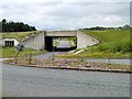
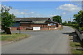
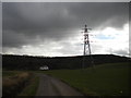
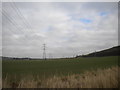
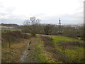
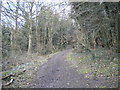
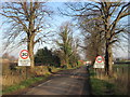
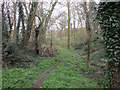
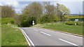
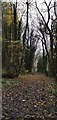
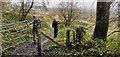

61 photos from this area
Area Information
Key information about the NG11 0AU including its size, population, and administrative classification.
- Area Type
- Postcode
- Area Size
- 2.1 km²
- Population
- 2003
- Population Density
- 90 people/km²
House Prices in NG11 0AU
12
Properties
£418,000
Average Sold Price
£250,000
Lowest Price
£650,000
Highest Price
Showing 12 properties
| Address | Type | Beds | Baths | Last Sale Price | Last Sale Date | |
|---|---|---|---|---|---|---|
| Fields Farm, Barton Lane, Thrumpton, NG11 0AU | Detached | 3 | 1 | £525,000 | Jun 2021 | |
| Manor Farm Cottage, Barton Lane, Thrumpton, NG11 0AU | Semi-detached | 3 | 2 | £315,000 | Oct 2019 | |
| Canterbury House, Barton Lane, Thrumpton, NG11 0AU | house | - | - | £650,000 | Jun 2017 | |
| Hillside Cottage, Barton Lane, Thrumpton, NG11 0AU | Detached | 6 | 5 | £350,000 | Jul 2009 | |
| Southern Cottage, Barton Lane, Thrumpton, NG11 0AU | Semi-detached | - | - | £250,000 | Aug 2004 | |
| Wood Farm, Barton Lane, Thrumpton, NG11 0AU | house | 6 | - | - | - | |
| Caravan R To O Fields Farm, Barton Lane, Thrumpton, NG11 0AU | Mobile Home | - | - | - | - | |
| The Orchard, Barton Lane, Thrumpton, NG11 0AU | house | - | - | - | - | |
| Os Field 7000, Barton Lane, Thrumpton, NG11 0AU | Equestrian | - | - | - | - | |
| Wood Farm Cottage, Barton Lane, Thrumpton, NG11 0AU | house | - | - | - | - |
Page 1 of 2
Energy Efficiency in NG11 0AU
Amenities
Schools
| Rank | School | Type | Entry gender | Ages |
|---|
Explore more schools in this area
Go to Schools tabDemographics
Household Size
Two person
most common
Accommodation Type
Houses
most common
Tenure
80
majority
Ethnic Group
White
most common
Religion
N/A
most common
Household Composition
N/A
most common
Age
47
median
Adults (30-64 years)
most common
Household Deprivation
N/A
with no deprivation
NS-SEC
42
in Lower managerial occupations
Explore more demographic insights in this area
Go to Demographics tabPlanning
Planning Constraints
- Flood RiskPremium
- Ramsar Wetland SitesPremium
- Area of Outstanding Natural BeautyPremium
- Protected Nature ReservePremium
- Protected WoodlandPremium