Area Overview for NG10 5EP
Photos of NG10 5EP
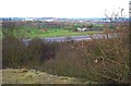
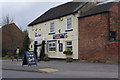
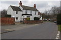
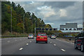
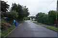
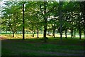
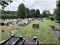
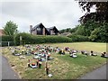
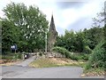
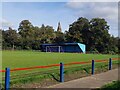
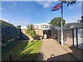
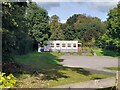
34 photos from this area
Area Information
Key information about the NG10 5EP including its size, population, and administrative classification.
- Area Type
- Postcode
- Area Size
- 1.8 hectares
- Population
- 1624
- Population Density
- 784 people/km²
House Prices in NG10 5EP
13
Properties
£161,828
Average Sold Price
£72,500
Lowest Price
£225,000
Highest Price
Showing 13 properties
| Address | Type | Beds | Baths | Last Sale Price | Last Sale Date | |
|---|---|---|---|---|---|---|
| 132 Stanton Road, Sandiacre, NG10 5EP | Bungalow | 3 | 1 | £210,000 | May 2016 | |
| 150 Stanton Road, Sandiacre, NG10 5EP | Detached | 4 | - | £225,000 | Dec 2013 | |
| 126 Stanton Road, Sandiacre, NG10 5EP | Bungalow | 3 | - | £213,000 | Nov 2011 | |
| 124 Stanton Road, Sandiacre, NG10 5EP | Bungalow | - | - | £180,000 | Jul 2010 | |
| 140 Stanton Road, Sandiacre, NG10 5EP | Detached | 3 | 1 | £200,000 | Oct 2009 | |
| 128 Stanton Road, Sandiacre, NG10 5EP | Bungalow | - | - | £120,000 | Jan 2007 | |
| 120 Stanton Road, Sandiacre, NG10 5EP | Bungalow | 3 | - | £135,950 | Jul 2001 | |
| 130 Stanton Road, Sandiacre, NG10 5EP | Detached | - | - | £72,500 | Sep 1997 | |
| 146 Stanton Road, Sandiacre, NG10 5EP | Detached | - | - | £100,000 | Jul 1995 | |
| Ladycross Cottage, 148 Stanton Road, Sandiacre, NG10 5EP | Detached | - | - | - | - |
Page 1 of 2
Energy Efficiency in NG10 5EP
Amenities
Schools
| Rank | School | Type | Entry gender | Ages |
|---|
Explore more schools in this area
Go to Schools tabDemographics
Household Size
Family (3-5 people)
most common
Accommodation Type
Houses
most common
Tenure
84
majority
Ethnic Group
White
most common
Religion
N/A
most common
Household Composition
N/A
most common
Age
47
median
Adults (30-64 years)
most common
Household Deprivation
N/A
with no deprivation
NS-SEC
35
in Lower managerial occupations
Explore more demographic insights in this area
Go to Demographics tabPlanning
Planning Constraints
- Flood RiskPremium
- Ramsar Wetland SitesPremium
- Area of Outstanding Natural BeautyPremium
- Protected Nature ReservePremium
- Protected WoodlandPremium