Area Overview for NG10 4BB
Photos of NG10 4BB
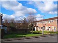
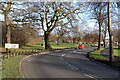
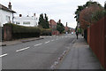
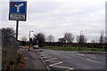
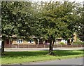
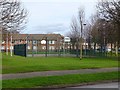


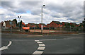
37 photos from this area
Area Information
Key information about the NG10 4BB including its size, population, and administrative classification.
- Area Type
- Postcode
- Area Size
- 1.2 hectares
- Population
- 1439
- Population Density
- 5550 people/km²
House Prices in NG10 4BB
33
Properties
£196,222
Average Sold Price
£35,100
Lowest Price
£385,000
Highest Price
Showing 33 properties
| Address | Type | Beds | Baths | Last Sale Price | Last Sale Date | |
|---|---|---|---|---|---|---|
| 120 Trowell Grove, Long Eaton, NG10 4BB | Detached | 2 | 1 | £290,000 | Jan 2025 | |
| 88 Trowell Grove, Long Eaton, NG10 4BB | Semi-detached | 3 | 1 | £270,000 | Dec 2024 | |
| 138 Trowell Grove, Long Eaton, NG10 4BB | Semi-detached | 3 | 1 | £205,000 | Jan 2024 | |
| 92 Trowell Grove, Long Eaton, NG10 4BB | Detached | 3 | 1 | £355,000 | Jul 2023 | |
| 126 Trowell Grove, Long Eaton, NG10 4BB | Semi-detached | 4 | 1 | £385,000 | Aug 2022 | |
| 134 Trowell Grove, Long Eaton, NG10 4BB | Bungalow | 2 | 1 | £210,000 | Aug 2022 | |
| 86 Trowell Grove, Long Eaton, NG10 4BB | house | - | - | £385,000 | May 2021 | |
| 128 Trowell Grove, Long Eaton, NG10 4BB | Detached | 3 | 1 | £278,000 | Jun 2020 | |
| 96 Trowell Grove, Long Eaton, NG10 4BB | Semi-detached | 3 | 1 | £194,950 | Apr 2020 | |
| 100 Trowell Grove, Long Eaton, NG10 4BB | Semi-detached | 3 | 1 | £160,000 | Sep 2019 |
Page 1 of 4
Energy Efficiency in NG10 4BB
Amenities
Schools
| Rank | School | Type | Entry gender | Ages |
|---|
Explore more schools in this area
Go to Schools tabDemographics
Household Size
Two person
most common
Accommodation Type
Houses
most common
Tenure
80
majority
Ethnic Group
White
most common
Religion
N/A
most common
Household Composition
N/A
most common
Age
47
median
Adults (30-64 years)
most common
Household Deprivation
N/A
with no deprivation
NS-SEC
37
in Lower managerial occupations
Explore more demographic insights in this area
Go to Demographics tabPlanning
Planning Constraints
- Flood RiskPremium
- Ramsar Wetland SitesPremium
- Area of Outstanding Natural BeautyPremium
- Protected Nature ReservePremium
- Protected WoodlandPremium