Area Overview for NG10 4AN
Photos of NG10 4AN
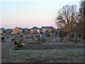
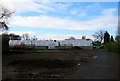
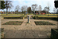
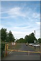
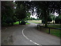

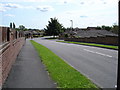
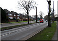
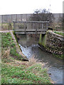
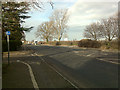

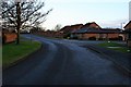
100 photos from this area
Area Information
Key information about the NG10 4AN including its size, population, and administrative classification.
- Area Type
- Postcode
- Area Size
- 2.7 hectares
- Population
- 1424
- Population Density
- 2879 people/km²
House Prices in NG10 4AN
35
Properties
£301,527
Average Sold Price
£75,000
Lowest Price
£740,000
Highest Price
Showing 35 properties
| Address | Type | Beds | Baths | Last Sale Price | Last Sale Date | |
|---|---|---|---|---|---|---|
| 26 Parkside Avenue, Long Eaton, NG10 4AN | Detached | 4 | 3 | £510,000 | Sep 2025 | |
| 40 Parkside Avenue, Long Eaton, NG10 4AN | Detached | 4 | 2 | £360,000 | Oct 2024 | |
| 14 Parkside Avenue, Long Eaton, NG10 4AN | Detached | 4 | 3 | £740,000 | Oct 2023 | |
| 3 Parkside Avenue, Long Eaton, NG10 4AN | Detached | 3 | - | £361,350 | Jan 2022 | |
| 5 Parkside Avenue, Long Eaton, NG10 4AN | house | - | - | £275,000 | May 2021 | |
| 16 Parkside Avenue, Long Eaton, NG10 4AN | Detached | 5 | 3 | £490,000 | Nov 2020 | |
| 29 Parkside Avenue, Long Eaton, NG10 4AN | Detached | 3 | 1 | £266,000 | Jun 2020 | |
| 34 Parkside Avenue, Long Eaton, NG10 4AN | Detached | 4 | 2 | £382,500 | Mar 2019 | |
| 30 Parkside Avenue, Long Eaton, NG10 4AN | Detached | 5 | 1 | £410,000 | Mar 2019 | |
| 27 Parkside Avenue, Long Eaton, NG10 4AN | Detached | 3 | 2 | £310,000 | Jul 2018 |
Page 1 of 4
Energy Efficiency in NG10 4AN
Amenities
Schools
| Rank | School | Type | Entry gender | Ages |
|---|
Explore more schools in this area
Go to Schools tabDemographics
Household Size
Two person
most common
Accommodation Type
Houses
most common
Tenure
89
majority
Ethnic Group
White
most common
Religion
N/A
most common
Household Composition
N/A
most common
Age
47
median
Adults (30-64 years)
most common
Household Deprivation
N/A
with no deprivation
NS-SEC
39
in Lower managerial occupations
Explore more demographic insights in this area
Go to Demographics tabPlanning
Planning Constraints
- Flood RiskPremium
- Ramsar Wetland SitesPremium
- Area of Outstanding Natural BeautyPremium
- Protected Nature ReservePremium
- Protected WoodlandPremium