Area Overview for Blaby
Photos of Blaby
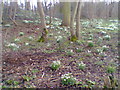
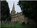
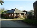
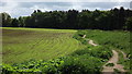
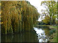
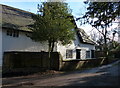
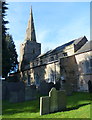
Area Information
Blaby serves as a local authority district within Leicestershire, blending the southern and western suburbs of Leicester with open countryside. This district covers 4.9 km², an area that creates a mix of urban living and rural village life. You will find the village located approximately five miles south of Leicester city centre, positioned along the arc from southeast to northwest that defines the district. Narborough acts as the administrative hub where the district council maintains its offices in the extended Old Rectory. The area's character reflects this duality, featuring established communities like Blaby village, which had a population of 6,194 in 2011. The district has deep roots, with the naming of Blaby linking directly to the village. Historically, the area stood on a branch of the River Soar and the Union Canal in the late nineteenth century. Today, residents enjoy access to Fosse Park shopping centre near M1 junction 21, a prominent commercial destination that anchors the local economy. You can find major stores like Next and Marks & Spencer here, alongside key landmarks such as the Bakers Arms pub, which dates back to 1485. Transport connectivity relies heavily on the M1 and M69 motorways, making travel efficient despite the closure of the former Blaby railway station in 1968. Living in Blaby means balancing proximity to city amenities with the tranquility found in its rural extensions nearly to the Warwickshire boundary.
- Area Type
- Parish
- Area Size
- 4.9 km²
- Population
- Not available
- Population Density
- Not available
Demographics
The community in Blaby presents a distinct demographic profile, with a median age of 70. This high figure indicates that a significant portion of the population resides in accommodation suited to older adults, such as affluent retirement villages and large detached family homes. The area exhibits a strong preference for home ownership, where 74% of residents own their properties outright or with a mortgage. This high ownership rate suggests a stable, settled community where long-term residence is the norm. Household composition in Blaby reflects the older age profile, with families often consisting of two generations or empty nesters rather than young professionals. While the provided data does not specify ethnic group percentages, the area's integration into the wider Leicester Urban Area implies some demographic diversity alongside long-standing local families. Crime risk assessments show a charge of pass with a safety score of 68 out of 100, confirming that the neighbourhood has below-average crime rates. This low crime risk contributes to a secure environment for families and retirees. The district also passes assessments for Ramsar Wetland Sites, Areas of Outstanding Natural Beauty, and protected woodlands, meaning there are no planning constraints from these specific designations that typically limit development or alter land use rules for residents.
Household Size
Accommodation Type
Tenure
Ethnic Group
Religion
Household Composition
Age
Household Deprivation
NS-SEC
Explore more demographic insights in this area
Go to Demographics tabPlanning
Planning Constraints
- Flood RiskPremium
- Ramsar Wetland SitesPremium
- Area of Outstanding Natural BeautyPremium
- Protected Nature ReservePremium
- Protected WoodlandPremium