Area Overview for LE9 8JH
Photos of LE9 8JH
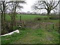
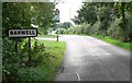
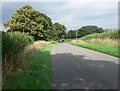
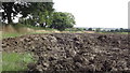
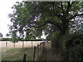
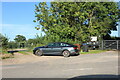
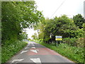
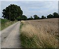
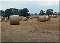
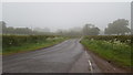
10 photos from this area
Area Information
Key information about the LE9 8JH including its size, population, and administrative classification.
- Area Type
- Postcode
- Area Size
- 26.0 hectares
- Population
- 1415
- Population Density
- 361 people/km²
House Prices in LE9 8JH
6
Properties
£450,408
Average Sold Price
£119,950
Lowest Price
£1,200,000
Highest Price
Showing 6 properties
| Address | Type | Beds | Baths | Last Sale Price | Last Sale Date | |
|---|---|---|---|---|---|---|
| 6 Chapel Street, Stapleton, LE9 8JH | Bungalow | 3 | 1 | £320,000 | Feb 2025 | |
| 3 Chapel Street, Stapleton, LE9 8JH | Detached | 3 | 1 | £327,500 | Apr 2022 | |
| Barwell Fields Farm, Chapel Street, Stapleton, LE9 8JH | house | - | - | £1,200,000 | Mar 2018 | |
| The Homestead, 2 Chapel Street, Stapleton, LE9 8JH | Detached | 5 | 1 | £490,000 | Oct 2017 | |
| Red Roofs, 4 Chapel Street, Stapleton, LE9 8JH | Bungalow | 4 | 1 | £245,000 | Apr 2017 | |
| 1 Chapel Street, Stapleton, LE9 8JH | Retail | 3 | 1 | £119,950 | May 2001 |
Energy Efficiency in LE9 8JH
Amenities
Schools
| Rank | School | Type | Entry gender | Ages |
|---|
Explore more schools in this area
Go to Schools tabDemographics
Household Size
Two person
most common
Accommodation Type
Houses
most common
Tenure
82
majority
Ethnic Group
White
most common
Religion
N/A
most common
Household Composition
N/A
most common
Age
47
median
Adults (30-64 years)
most common
Household Deprivation
N/A
with no deprivation
NS-SEC
27
in Lower managerial occupations
Explore more demographic insights in this area
Go to Demographics tabPlanning
Planning Constraints
- Flood RiskPremium
- Ramsar Wetland SitesPremium
- Area of Outstanding Natural BeautyPremium
- Protected Nature ReservePremium
- Protected WoodlandPremium