Area Overview for LE8 6YS
Photos of LE8 6YS
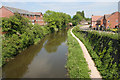
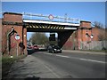
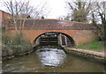
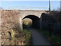
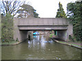
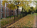
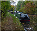
95 photos from this area
Area Information
Key information about the LE8 6YS including its size, population, and administrative classification.
- Area Type
- Postcode
- Area Size
- 4964 m²
- Population
- 1614
- Population Density
- 1196 people/km²
House Prices in LE8 6YS
12
Properties
£238,061
Average Sold Price
£53,600
Lowest Price
£330,000
Highest Price
Showing 12 properties
| Address | Type | Beds | Baths | Last Sale Price | Last Sale Date | |
|---|---|---|---|---|---|---|
| 7 Strudwick Way, Whetstone, LE8 6YS | Semi-detached | 3 | 1 | £236,000 | Feb 2025 | |
| 10 Strudwick Way, Whetstone, LE8 6YS | Retail | 5 | 2 | £330,000 | Oct 2022 | |
| 1 Strudwick Way, Whetstone, LE8 6YS | house | - | - | £287,500 | Jun 2021 | |
| 12 Strudwick Way, Whetstone, LE8 6YS | house | - | - | £325,000 | Apr 2021 | |
| 8 Strudwick Way, Whetstone, LE8 6YS | Semi-detached | 4 | - | £240,000 | Aug 2017 | |
| 3 Strudwick Way, Whetstone, LE8 6YS | house | - | - | £275,000 | Jul 2016 | |
| 11 Strudwick Way, Whetstone, LE8 6YS | Semi-detached | 5 | - | £252,500 | Jun 2015 | |
| 6 Strudwick Way, Whetstone, LE8 6YS | Semi-detached | - | - | £142,950 | Dec 2004 | |
| 2 Strudwick Way, Whetstone, LE8 6YS | Semi-detached | - | - | £53,600 | Oct 1997 | |
| 5 Strudwick Way, Whetstone, LE8 6YS | Semi-detached | - | - | - | - |
Page 1 of 2
Energy Efficiency in LE8 6YS
Amenities
Schools
| Rank | School | Type | Entry gender | Ages |
|---|
Explore more schools in this area
Go to Schools tabDemographics
Household Size
Two person
most common
Accommodation Type
Houses
most common
Tenure
64
majority
Ethnic Group
White
most common
Religion
N/A
most common
Household Composition
N/A
most common
Age
47
median
Adults (30-64 years)
most common
Household Deprivation
N/A
with no deprivation
NS-SEC
28
in Lower managerial occupations
Explore more demographic insights in this area
Go to Demographics tabPlanning
Planning Constraints
- Flood RiskPremium
- Ramsar Wetland SitesPremium
- Area of Outstanding Natural BeautyPremium
- Protected Nature ReservePremium
- Protected WoodlandPremium