Area Overview for LE8 5TB
Photos of LE8 5TB
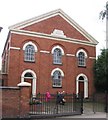
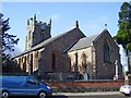
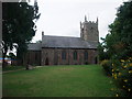
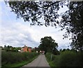
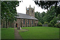
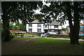
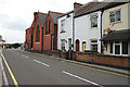
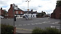
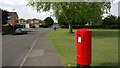
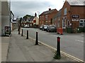
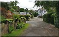
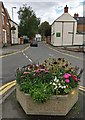
52 photos from this area
Area Information
Key information about the LE8 5TB including its size, population, and administrative classification.
- Area Type
- Postcode
- Area Size
- 2.6 hectares
- Population
- 1658
- Population Density
- 2979 people/km²
House Prices in LE8 5TB
41
Properties
£198,074
Average Sold Price
£28,320
Lowest Price
£500,000
Highest Price
Showing 41 properties
| Address | Type | Beds | Baths | Last Sale Price | Last Sale Date | |
|---|---|---|---|---|---|---|
| 79 Station Road, Countesthorpe, LE8 5TB | Detached | 4 | 2 | £500,000 | Nov 2024 | |
| 45 Station Road, Countesthorpe, LE8 5TB | Terraced | 2 | 1 | £220,000 | Sep 2022 | |
| 74 Station Road, Countesthorpe, LE8 5TB | Semi-detached | 3 | 1 | £237,500 | Feb 2022 | |
| 51 Station Road, Countesthorpe, LE8 5TB | Terraced | 3 | - | £190,000 | Jul 2020 | |
| 73 Station Road, Countesthorpe, LE8 5TB | Bungalow | 3 | 1 | £385,000 | Jun 2020 | |
| 96 Station Road, Countesthorpe, LE8 5TB | Semi-detached | 3 | - | £170,000 | Jul 2019 | |
| 81 Station Road, Countesthorpe, LE8 5TB | house | - | - | £160,000 | Jun 2019 | |
| 90 Station Road, Countesthorpe, LE8 5TB | house | - | - | £237,000 | May 2019 | |
| 92 Station Road, Countesthorpe, LE8 5TB | Semi-detached | 2 | 1 | £182,000 | Aug 2018 | |
| 88 Station Road, Countesthorpe, LE8 5TB | Semi-detached | 3 | - | £185,000 | Nov 2017 |
Page 1 of 5
Energy Efficiency in LE8 5TB
Amenities
Schools
| Rank | School | Type | Entry gender | Ages |
|---|
Explore more schools in this area
Go to Schools tabDemographics
Household Size
Two person
most common
Accommodation Type
Houses
most common
Tenure
72
majority
Ethnic Group
White
most common
Religion
N/A
most common
Household Composition
N/A
most common
Age
47
median
Adults (30-64 years)
most common
Household Deprivation
N/A
with no deprivation
NS-SEC
33
in Lower managerial occupations
Explore more demographic insights in this area
Go to Demographics tabPlanning
Planning Constraints
- Flood RiskPremium
- Ramsar Wetland SitesPremium
- Area of Outstanding Natural BeautyPremium
- Protected Nature ReservePremium
- Protected WoodlandPremium