Area Overview for LE7 2AU
Photos of LE7 2AU
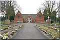
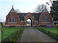
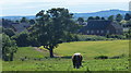
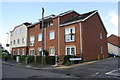
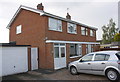
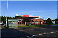
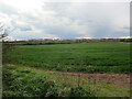
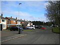
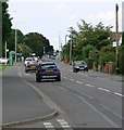
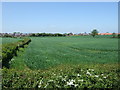
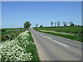
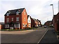
27 photos from this area
Area Information
Key information about the LE7 2AU including its size, population, and administrative classification.
- Area Type
- Postcode
- Area Size
- 2.8 hectares
- Population
- 2977
- Population Density
- 3118 people/km²
House Prices in LE7 2AU
42
Properties
£249,136
Average Sold Price
£84,500
Lowest Price
£470,000
Highest Price
Showing 42 properties
| Address | Type | Beds | Baths | Last Sale Price | Last Sale Date | |
|---|---|---|---|---|---|---|
| 16 Hungarton Drive, Syston, LE7 2AU | Bungalow | 4 | 2 | £335,000 | Jul 2025 | |
| 35 Hungarton Drive, Syston, LE7 2AU | Detached | 4 | 1 | £415,000 | Sep 2024 | |
| 20 Hungarton Drive, Syston, LE7 2AU | Bungalow | 3 | 2 | £375,000 | Jul 2024 | |
| 21 Hungarton Drive, Syston, LE7 2AU | Detached | 4 | 1 | £415,000 | Aug 2023 | |
| 27 Hungarton Drive, Syston, LE7 2AU | Detached | 4 | 1 | £470,000 | Feb 2023 | |
| 53 Hungarton Drive, Syston, LE7 2AU | Retail | 2 | 1 | £325,000 | May 2022 | |
| 10 Hungarton Drive, Syston, LE7 2AU | house | - | - | £400,000 | Apr 2021 | |
| 49 Hungarton Drive, Syston, LE7 2AU | house | - | - | £210,000 | Feb 2020 | |
| 22 Hungarton Drive, Syston, LE7 2AU | house | 4 | 1 | £340,000 | Jan 2020 | |
| 3 Hungarton Drive, Syston, LE7 2AU | Detached | 4 | 1 | £290,000 | May 2019 |
Page 1 of 5
Energy Efficiency in LE7 2AU
Amenities
Schools
| Rank | School | Type | Entry gender | Ages |
|---|
Explore more schools in this area
Go to Schools tabDemographics
Household Size
Family (3-5 people)
most common
Accommodation Type
Houses
most common
Tenure
80
majority
Ethnic Group
White
most common
Religion
N/A
most common
Household Composition
N/A
most common
Age
47
median
Adults (30-64 years)
most common
Household Deprivation
N/A
with no deprivation
NS-SEC
35
in Lower managerial occupations
Explore more demographic insights in this area
Go to Demographics tabPlanning
Planning Constraints
- Flood RiskPremium
- Ramsar Wetland SitesPremium
- Area of Outstanding Natural BeautyPremium
- Protected Nature ReservePremium
- Protected WoodlandPremium