Area Overview for LE7 2AL
Photos of LE7 2AL
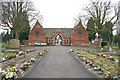
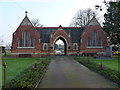
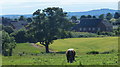
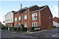
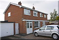
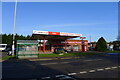
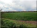
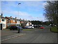
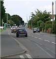
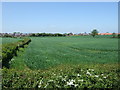
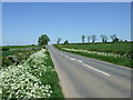
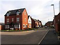
27 photos from this area
Area Information
Key information about the LE7 2AL including its size, population, and administrative classification.
- Area Type
- Postcode
- Area Size
- 1.8 hectares
- Population
- 2977
- Population Density
- 3118 people/km²
House Prices in LE7 2AL
45
Properties
£205,755
Average Sold Price
£59,950
Lowest Price
£372,500
Highest Price
Showing 45 properties
| Address | Type | Beds | Baths | Last Sale Price | Last Sale Date | |
|---|---|---|---|---|---|---|
| 27 Orchard Way, Syston, LE7 2AL | Semi-detached | 3 | 1 | £230,000 | Apr 2024 | |
| 1 Orchard Way, Syston, LE7 2AL | Detached | 3 | 1 | £325,000 | Feb 2024 | |
| 11A Orchard Way, Syston, LE7 2AL | Terraced | 2 | 1 | £200,000 | Jul 2022 | |
| 28 Orchard Way, Syston, LE7 2AL | Detached | 4 | 1 | £372,500 | Sep 2021 | |
| 31 Orchard Way, Syston, LE7 2AL | house | - | - | £250,000 | Sep 2021 | |
| 29 Orchard Way, Syston, LE7 2AL | house | - | - | £240,000 | Sep 2021 | |
| 51 Orchard Way, Syston, LE7 2AL | house | - | - | £260,000 | Aug 2021 | |
| 22 Orchard Way, Syston, LE7 2AL | Detached | 3 | - | £240,000 | Jun 2021 | |
| 19 Orchard Way, Syston, LE7 2AL | house | - | - | £150,000 | Oct 2019 | |
| 11 Orchard Way, Syston, LE7 2AL | Terraced | 3 | 1 | £175,000 | Jun 2019 |
Page 1 of 5
Energy Efficiency in LE7 2AL
Amenities
Schools
| Rank | School | Type | Entry gender | Ages |
|---|
Explore more schools in this area
Go to Schools tabDemographics
Household Size
Family (3-5 people)
most common
Accommodation Type
Houses
most common
Tenure
80
majority
Ethnic Group
White
most common
Religion
N/A
most common
Household Composition
N/A
most common
Age
47
median
Adults (30-64 years)
most common
Household Deprivation
N/A
with no deprivation
NS-SEC
35
in Lower managerial occupations
Explore more demographic insights in this area
Go to Demographics tabPlanning
Planning Constraints
- Flood RiskPremium
- Ramsar Wetland SitesPremium
- Area of Outstanding Natural BeautyPremium
- Protected Nature ReservePremium
- Protected WoodlandPremium