Area Overview for LE67 1ES
Photos of LE67 1ES
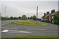
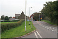
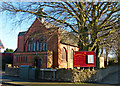
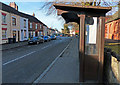
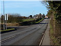
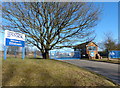
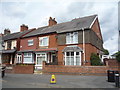
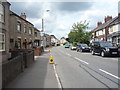
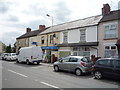
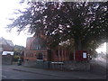

16 photos from this area
Area Information
Key information about the LE67 1ES including its size, population, and administrative classification.
- Area Type
- Postcode
- Area Size
- 7.4 hectares
- Population
- 2014
- Population Density
- 345 people/km²
House Prices in LE67 1ES
21
Properties
£116,900
Average Sold Price
£18,000
Lowest Price
£250,000
Highest Price
Showing 21 properties
| Address | Type | Beds | Baths | Last Sale Price | Last Sale Date | |
|---|---|---|---|---|---|---|
| 250 Whitehill Road, Ellistown, LE67 1ES | house | - | - | £152,000 | Jul 2022 | |
| 238 Whitehill Road, Ellistown, LE67 1ES | Detached | 3 | 1 | £155,000 | Mar 2018 | |
| 236 Whitehill Road, Ellistown, LE67 1ES | Detached | 3 | 3 | £180,000 | Apr 2017 | |
| 237A Whitehill Road, Ellistown, LE67 1ES | Bungalow | - | - | £200,000 | Dec 2010 | |
| PICKERING GRANGE FARM, WHITEHILL ROAD, Ellistown, LE67 1ES | Detached | - | - | £250,000 | Nov 2002 | |
| 246 Whitehill Road, Ellistown, LE67 1ES | Terraced | - | - | £40,000 | Jan 2002 | |
| 258 Whitehill Road, Ellistown, LE67 1ES | Semi-detached | - | - | £70,500 | Oct 2001 | |
| 248 Whitehill Road, Ellistown, LE67 1ES | house | - | - | £30,500 | Feb 2000 | |
| 239 Whitehill Road, Ellistown, LE67 1ES | Detached | - | - | £73,000 | Oct 1996 | |
| 244 Whitehill Road, Ellistown, LE67 1ES | Terraced | - | - | £18,000 | Mar 1996 |
Page 1 of 3
Energy Efficiency in LE67 1ES
Amenities
Schools
| Rank | School | Type | Entry gender | Ages |
|---|
Explore more schools in this area
Go to Schools tabDemographics
Household Size
Two person
most common
Accommodation Type
Houses
most common
Tenure
72
majority
Ethnic Group
White
most common
Religion
N/A
most common
Household Composition
N/A
most common
Age
47
median
Adults (30-64 years)
most common
Household Deprivation
N/A
with no deprivation
NS-SEC
29
in Lower managerial occupations
Explore more demographic insights in this area
Go to Demographics tabPlanning
Planning Constraints
- Flood RiskPremium
- Ramsar Wetland SitesPremium
- Area of Outstanding Natural BeautyPremium
- Protected Nature ReservePremium
- Protected WoodlandPremium