Area Overview for LE67 1ER
Photos of LE67 1ER
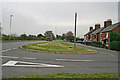
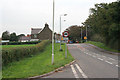
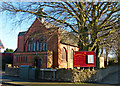
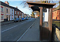
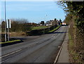
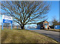
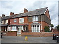
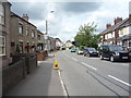
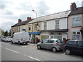
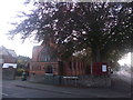

16 photos from this area
Area Information
Key information about the LE67 1ER including its size, population, and administrative classification.
- Area Type
- Postcode
- Area Size
- 1.8 hectares
- Population
- 2151
- Population Density
- 509 people/km²
House Prices in LE67 1ER
47
Properties
£179,825
Average Sold Price
£65,000
Lowest Price
£440,000
Highest Price
Showing 47 properties
| Address | Type | Beds | Baths | Last Sale Price | Last Sale Date | |
|---|---|---|---|---|---|---|
| 91 Whitehill Road, Ellistown, LE67 1ER | Detached | 3 | 2 | £265,000 | Aug 2025 | |
| 203 Whitehill Road, Ellistown, LE67 1ER | Semi-detached | 4 | 2 | £262,500 | Dec 2023 | |
| 213 Whitehill Road, Ellistown, LE67 1ER | Detached | 3 | 2 | £440,000 | Nov 2023 | |
| 105 Whitehill Road, Ellistown, LE67 1ER | Detached | 3 | 1 | £241,250 | Oct 2023 | |
| 97 Whitehill Road, Ellistown, LE67 1ER | house | - | - | £197,000 | Feb 2022 | |
| 219 Whitehill Road, Ellistown, LE67 1ER | Semi-detached | 3 | 2 | £199,950 | May 2021 | |
| 229 Whitehill Road, Ellistown, LE67 1ER | Terraced | 3 | 1 | £132,000 | Jan 2019 | |
| 103 Whitehill Road, Ellistown, LE67 1ER | Detached | 4 | 2 | £185,000 | May 2018 | |
| 121 Whitehill Road, Ellistown, LE67 1ER | Bungalow | 4 | - | £255,000 | Oct 2017 | |
| 123 Whitehill Road, Ellistown, LE67 1ER | Bungalow | - | - | £133,032 | Nov 2015 |
Page 1 of 5
Energy Efficiency in LE67 1ER
Amenities
Schools
| Rank | School | Type | Entry gender | Ages |
|---|
Explore more schools in this area
Go to Schools tabDemographics
Household Size
Family (3-5 people)
most common
Accommodation Type
Houses
most common
Tenure
76
majority
Ethnic Group
White
most common
Religion
N/A
most common
Household Composition
N/A
most common
Age
47
median
Adults (30-64 years)
most common
Household Deprivation
N/A
with no deprivation
NS-SEC
27
in Lower managerial occupations
Explore more demographic insights in this area
Go to Demographics tabPlanning
Planning Constraints
- Flood RiskPremium
- Ramsar Wetland SitesPremium
- Area of Outstanding Natural BeautyPremium
- Protected Nature ReservePremium
- Protected WoodlandPremium