Area Overview for LE5 6JG
Photos of LE5 6JG
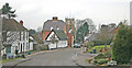
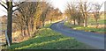
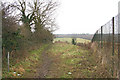
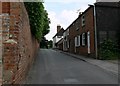
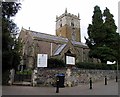
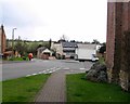
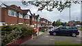
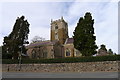
36 photos from this area
Area Information
Key information about the LE5 6JG including its size, population, and administrative classification.
- Area Type
- Postcode
- Area Size
- 9.0 hectares
- Population
- 1747
- Population Density
- 234 people/km²
House Prices in LE5 6JG
15
Properties
£211,159
Average Sold Price
£77,750
Lowest Price
£450,000
Highest Price
Showing 15 properties
| Address | Type | Beds | Baths | Last Sale Price | Last Sale Date | |
|---|---|---|---|---|---|---|
| 22 Newhaven Road, Leicester, LE5 6JG | Detached | 4 | 1 | £450,000 | Dec 2024 | |
| 31 Newhaven Road, Leicester, LE5 6JG | Semi-detached | 3 | 1 | £312,000 | May 2024 | |
| 21 Newhaven Road, Leicester, LE5 6JG | Bungalow | 4 | 1 | £245,000 | Aug 2020 | |
| 29 Newhaven Road, Leicester, LE5 6JG | Semi-detached | 3 | 1 | £258,000 | Jan 2019 | |
| 37 Newhaven Road, Leicester, LE5 6JG | Semi-detached | 3 | 1 | £175,000 | Sep 2015 | |
| 23 Newhaven Road, Leicester, LE5 6JG | Bungalow | 2 | - | £200,000 | Aug 2015 | |
| 19 Newhaven Road, Leicester, LE5 6JG | Bungalow | 1 | - | £125,000 | Dec 2012 | |
| 25 Newhaven Road, Leicester, LE5 6JG | house | - | - | £175,000 | Sep 2009 | |
| 27 Newhaven Road, Leicester, LE5 6JG | Semi-detached | - | - | £165,000 | Aug 2008 | |
| 24 Newhaven Road, Leicester, LE5 6JG | Bungalow | - | - | £140,000 | May 2000 |
Page 1 of 2
Energy Efficiency in LE5 6JG
Amenities
Schools
| Rank | School | Type | Entry gender | Ages |
|---|
Explore more schools in this area
Go to Schools tabDemographics
Household Size
Two person
most common
Accommodation Type
Houses
most common
Tenure
81
majority
Ethnic Group
White
most common
Religion
N/A
most common
Household Composition
N/A
most common
Age
47
median
Adults (30-64 years)
most common
Household Deprivation
N/A
with no deprivation
NS-SEC
38
in Lower managerial occupations
Explore more demographic insights in this area
Go to Demographics tabPlanning
Planning Constraints
- Flood RiskPremium
- Ramsar Wetland SitesPremium
- Area of Outstanding Natural BeautyPremium
- Protected Nature ReservePremium
- Protected WoodlandPremium