Area Overview for LE5 5TU
Photos of LE5 5TU
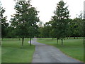
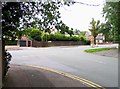
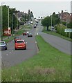
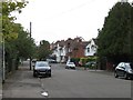
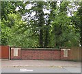
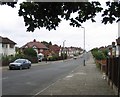
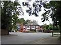
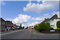
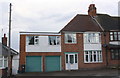
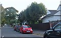
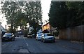
39 photos from this area
Area Information
Key information about the LE5 5TU including its size, population, and administrative classification.
- Area Type
- Postcode
- Area Size
- 2.3 hectares
- Population
- 1698
- Population Density
- 6589 people/km²
House Prices in LE5 5TU
22
Properties
£238,688
Average Sold Price
£60,000
Lowest Price
£710,000
Highest Price
Showing 22 properties
| Address | Type | Beds | Baths | Last Sale Price | Last Sale Date | |
|---|---|---|---|---|---|---|
| 117 Kingsway Road, Leicester, LE5 5TU | Bungalow | 3 | 6 | £710,000 | Sep 2024 | |
| 81 Kingsway Road, Leicester, LE5 5TU | Bungalow | 3 | 1 | £272,000 | Aug 2020 | |
| 103 Kingsway Road, Leicester, LE5 5TU | Bungalow | 2 | - | £285,000 | Sep 2017 | |
| 113 Kingsway Road, Leicester, LE5 5TU | Bungalow | 3 | - | £290,000 | Jul 2017 | |
| 99 Kingsway Road, Leicester, LE5 5TU | Bungalow | - | - | £350,000 | Jan 2017 | |
| 91 Kingsway Road, Leicester, LE5 5TU | Detached | 3 | 1 | £285,000 | Dec 2016 | |
| 101 Kingsway Road, Leicester, LE5 5TU | Bungalow | 3 | 2 | £250,000 | Dec 2016 | |
| 107 Kingsway Road, Leicester, LE5 5TU | Bungalow | 3 | - | £305,000 | Jun 2014 | |
| 79 Kingsway Road, Leicester, LE5 5TU | Bungalow | - | - | £195,000 | Aug 2011 | |
| 77 Kingsway Road, Leicester, LE5 5TU | Bungalow | 4 | 1 | £185,000 | Jan 2006 |
Page 1 of 3
Energy Efficiency in LE5 5TU
Amenities
Schools
| Rank | School | Type | Entry gender | Ages |
|---|
Explore more schools in this area
Go to Schools tabDemographics
Household Size
Family (3-5 people)
most common
Accommodation Type
Houses
most common
Tenure
72
majority
Ethnic Group
asian_total
most common
Religion
N/A
most common
Household Composition
N/A
most common
Age
47
median
Adults (30-64 years)
most common
Household Deprivation
N/A
with no deprivation
NS-SEC
28
in Lower managerial occupations
Explore more demographic insights in this area
Go to Demographics tabPlanning
Planning Constraints
- Flood RiskPremium
- Ramsar Wetland SitesPremium
- Area of Outstanding Natural BeautyPremium
- Protected Nature ReservePremium
- Protected WoodlandPremium