Area Overview for LE5 5LD
Photos of LE5 5LD
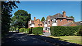
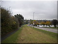
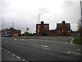
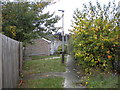
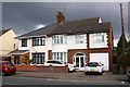
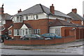
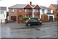
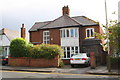
35 photos from this area
Area Information
Key information about the LE5 5LD including its size, population, and administrative classification.
- Area Type
- Postcode
- Area Size
- 1.0 hectares
- Population
- 1644
- Population Density
- 7733 people/km²
House Prices in LE5 5LD
27
Properties
£130,950
Average Sold Price
£40,000
Lowest Price
£270,000
Highest Price
Showing 27 properties
| Address | Type | Beds | Baths | Last Sale Price | Last Sale Date | |
|---|---|---|---|---|---|---|
| 21 Brightside Road, Leicester, LE5 5LD | house | 3 | - | £165,000 | Mar 2024 | |
| 5 Brightside Road, Leicester, LE5 5LD | Detached | - | - | £255,000 | Mar 2016 | |
| 12 Brightside Road, Leicester, LE5 5LD | Semi-detached | 4 | 2 | £270,000 | Nov 2013 | |
| 13 Brightside Road, Leicester, LE5 5LD | house | - | - | £170,000 | Jul 2008 | |
| 23 Brightside Road, Leicester, LE5 5LD | Semi-detached | - | - | £80,000 | May 2002 | |
| 31 Brightside Road, Leicester, LE5 5LD | house | 3 | 1 | £70,000 | Feb 2002 | |
| 8 Brightside Road, Leicester, LE5 5LD | house | - | - | £125,000 | Aug 2001 | |
| 19 Brightside Road, Leicester, LE5 5LD | house | - | - | £77,000 | Jun 2001 | |
| 6 Brightside Road, Leicester, LE5 5LD | house | - | - | £40,000 | Jan 2001 | |
| 18 Brightside Road, Leicester, LE5 5LD | Terraced | - | - | £57,500 | Aug 1995 |
Page 1 of 3
Energy Efficiency in LE5 5LD
Amenities
Schools
| Rank | School | Type | Entry gender | Ages |
|---|
Explore more schools in this area
Go to Schools tabDemographics
Household Size
Family (3-5 people)
most common
Accommodation Type
Houses
most common
Tenure
77
majority
Ethnic Group
asian_total
most common
Religion
N/A
most common
Household Composition
N/A
most common
Age
47
median
Adults (30-64 years)
most common
Household Deprivation
N/A
with no deprivation
NS-SEC
25
in Lower managerial occupations
Explore more demographic insights in this area
Go to Demographics tabPlanning
Planning Constraints
- Flood RiskPremium
- Ramsar Wetland SitesPremium
- Area of Outstanding Natural BeautyPremium
- Protected Nature ReservePremium
- Protected WoodlandPremium