Area Overview for LE5 3LB
Photos of LE5 3LB
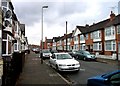
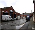
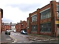
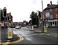
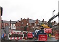
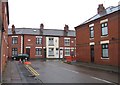
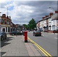
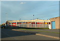
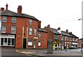
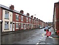
45 photos from this area
Area Information
Key information about the LE5 3LB including its size, population, and administrative classification.
- Area Type
- Postcode
- Area Size
- 5648 m²
- Population
- 2857
- Population Density
- 21321 people/km²
House Prices in LE5 3LB
43
Properties
£108,572
Average Sold Price
£25,000
Lowest Price
£240,000
Highest Price
Showing 43 properties
| Address | Type | Beds | Baths | Last Sale Price | Last Sale Date | |
|---|---|---|---|---|---|---|
| 29 Bridge Road, Leicester, LE5 3LB | Terraced | 2 | 1 | £240,000 | Dec 2025 | |
| 63 Bridge Road, Leicester, LE5 3LB | Terraced | - | - | £200,000 | Feb 2025 | |
| 25 Bridge Road, Leicester, LE5 3LB | Terraced | 2 | 1 | £210,000 | Mar 2023 | |
| 59 Bridge Road, Leicester, LE5 3LB | house | - | - | £225,000 | Jan 2022 | |
| 83 Bridge Road, Leicester, LE5 3LB | Terraced | 3 | 1 | £161,500 | Nov 2019 | |
| 31 Bridge Road, Leicester, LE5 3LB | Terraced | 3 | 1 | £185,000 | Feb 2019 | |
| 33 Bridge Road, Leicester, LE5 3LB | Terraced | 3 | 1 | £181,000 | Aug 2018 | |
| 23 Bridge Road, Leicester, LE5 3LB | Terraced | 3 | - | £171,000 | May 2017 | |
| 65 Bridge Road, Leicester, LE5 3LB | Terraced | 4 | 1 | £124,000 | Jan 2015 | |
| 61 Bridge Road, Leicester, LE5 3LB | Terraced | 3 | 1 | £125,000 | May 2013 |
Page 1 of 5
Energy Efficiency in LE5 3LB
Amenities
Schools
| Rank | School | Type | Entry gender | Ages |
|---|
Explore more schools in this area
Go to Schools tabDemographics
Household Size
Family (3-5 people)
most common
Accommodation Type
Houses
most common
Tenure
42
majority
Ethnic Group
asian_total
most common
Religion
N/A
most common
Household Composition
N/A
most common
Age
47
median
Adults (30-64 years)
most common
Household Deprivation
N/A
with no deprivation
NS-SEC
7
in Lower managerial occupations
Explore more demographic insights in this area
Go to Demographics tabPlanning
Planning Constraints
- Flood RiskPremium
- Ramsar Wetland SitesPremium
- Area of Outstanding Natural BeautyPremium
- Protected Nature ReservePremium
- Protected WoodlandPremium