Area Overview for LE3 2PA
Photos of LE3 2PA
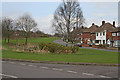
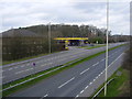
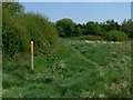
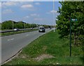
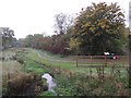
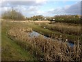
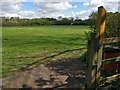
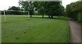
87 photos from this area
Area Information
Key information about the LE3 2PA including its size, population, and administrative classification.
- Area Type
- Postcode
- Area Size
- 1.1 hectares
- Population
- 1358
- Population Density
- 3082 people/km²
House Prices in LE3 2PA
35
Properties
£182,006
Average Sold Price
£72,000
Lowest Price
£325,000
Highest Price
Showing 35 properties
| Address | Type | Beds | Baths | Last Sale Price | Last Sale Date | |
|---|---|---|---|---|---|---|
| 19 Edenhurst Avenue, Braunstone Town, LE3 2PA | Semi-detached | 3 | 1 | £265,000 | Jul 2025 | |
| 31 Edenhurst Avenue, Braunstone Town, LE3 2PA | Semi-detached | 3 | 2 | £325,000 | Dec 2023 | |
| 16 Edenhurst Avenue, Braunstone Town, LE3 2PA | Semi-detached | 3 | 1 | £193,500 | Aug 2020 | |
| 29 Edenhurst Avenue, Braunstone Town, LE3 2PA | Semi-detached | 3 | 1 | £200,000 | Feb 2020 | |
| 34 Edenhurst Avenue, Braunstone Town, LE3 2PA | Semi-detached | 3 | 1 | £184,500 | May 2018 | |
| 33 Edenhurst Avenue, Braunstone Town, LE3 2PA | Semi-detached | 4 | 1 | £194,000 | Jan 2018 | |
| 21 Edenhurst Avenue, Braunstone Town, LE3 2PA | house | - | - | £177,000 | Dec 2017 | |
| 7 Edenhurst Avenue, Braunstone Town, LE3 2PA | Semi-detached | 3 | 1 | £150,000 | Nov 2015 | |
| 8 Edenhurst Avenue, Braunstone Town, LE3 2PA | Detached | 3 | - | £145,071 | Aug 2015 | |
| 27 Edenhurst Avenue, Braunstone Town, LE3 2PA | Semi-detached | 3 | 1 | £140,000 | Feb 2008 |
Page 1 of 4
Energy Efficiency in LE3 2PA
Amenities
Schools
| Rank | School | Type | Entry gender | Ages |
|---|
Explore more schools in this area
Go to Schools tabDemographics
Household Size
Family (3-5 people)
most common
Accommodation Type
Houses
most common
Tenure
83
majority
Ethnic Group
White
most common
Religion
N/A
most common
Household Composition
N/A
most common
Age
47
median
Adults (30-64 years)
most common
Household Deprivation
N/A
with no deprivation
NS-SEC
25
in Lower managerial occupations
Explore more demographic insights in this area
Go to Demographics tabPlanning
Planning Constraints
- Flood RiskPremium
- Ramsar Wetland SitesPremium
- Area of Outstanding Natural BeautyPremium
- Protected Nature ReservePremium
- Protected WoodlandPremium