Area Overview for LE3 2PF
Photos of LE3 2PF
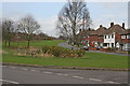
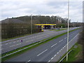
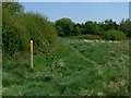
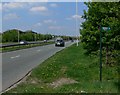
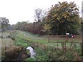
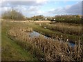
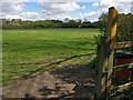
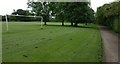
87 photos from this area
Area Information
Key information about the LE3 2PF including its size, population, and administrative classification.
- Area Type
- Postcode
- Area Size
- 9305 m²
- Population
- 1354
- Population Density
- 5009 people/km²
House Prices in LE3 2PF
27
Properties
£174,800
Average Sold Price
£47,000
Lowest Price
£290,000
Highest Price
Showing 27 properties
| Address | Type | Beds | Baths | Last Sale Price | Last Sale Date | |
|---|---|---|---|---|---|---|
| 65 Edward Avenue, Braunstone Town, LE3 2PF | Retail | 3 | 1 | £278,000 | Apr 2022 | |
| 69 Edward Avenue, Braunstone Town, LE3 2PF | Detached | 4 | - | £290,000 | Mar 2022 | |
| 63 Edward Avenue, Braunstone Town, LE3 2PF | house | - | - | £230,000 | Jun 2021 | |
| 59 Edward Avenue, Braunstone Town, LE3 2PF | house | - | - | £186,000 | Dec 2018 | |
| 71 Edward Avenue, Braunstone Town, LE3 2PF | house | 3 | 1 | £158,000 | Aug 2018 | |
| 89 Edward Avenue, Braunstone Town, LE3 2PF | house | - | - | £162,000 | Nov 2016 | |
| 77 Edward Avenue, Braunstone Town, LE3 2PF | Semi-detached | 3 | - | £145,000 | Apr 2015 | |
| 79 Edward Avenue, Braunstone Town, LE3 2PF | Semi-detached | 3 | 1 | £124,999 | Feb 2014 | |
| 67 Edward Avenue, Braunstone Town, LE3 2PF | house | - | - | £127,000 | Oct 2009 | |
| 49 Edward Avenue, Braunstone Town, LE3 2PF | Semi-detached | - | - | £47,000 | Jun 1995 |
Page 1 of 3
Energy Efficiency in LE3 2PF
Amenities
Schools
| Rank | School | Type | Entry gender | Ages |
|---|
Explore more schools in this area
Go to Schools tabDemographics
Household Size
Family (3-5 people)
most common
Accommodation Type
Houses
most common
Tenure
79
majority
Ethnic Group
White
most common
Religion
N/A
most common
Household Composition
N/A
most common
Age
47
median
Adults (30-64 years)
most common
Household Deprivation
N/A
with no deprivation
NS-SEC
26
in Lower managerial occupations
Explore more demographic insights in this area
Go to Demographics tabPlanning
Planning Constraints
- Flood RiskPremium
- Ramsar Wetland SitesPremium
- Area of Outstanding Natural BeautyPremium
- Protected Nature ReservePremium
- Protected WoodlandPremium