Area Overview for LE2 9LW
Photos of LE2 9LW
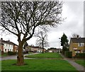
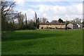
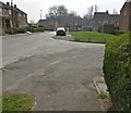
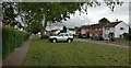
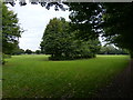
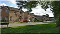
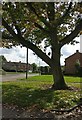
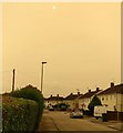
33 photos from this area
Area Information
Key information about the LE2 9LW including its size, population, and administrative classification.
- Area Type
- Postcode
- Area Size
- 7252 m²
- Population
- 2181
- Population Density
- 8431 people/km²
House Prices in LE2 9LW
29
Properties
£111,502
Average Sold Price
£23,000
Lowest Price
£220,000
Highest Price
Showing 29 properties
| Address | Type | Beds | Baths | Last Sale Price | Last Sale Date | |
|---|---|---|---|---|---|---|
| 6 Queensferry Parade, Leicester, LE2 9LW | Terraced | 3 | 1 | £193,000 | Oct 2023 | |
| 34 Queensferry Parade, Leicester, LE2 9LW | Retail | 3 | 1 | £220,000 | Oct 2022 | |
| 9 Queensferry Parade, Leicester, LE2 9LW | house | 2 | - | £118,000 | Feb 2021 | |
| 16 Queensferry Parade, Leicester, LE2 9LW | house | 2 | - | £148,000 | Nov 2020 | |
| 5 Queensferry Parade, Leicester, LE2 9LW | Semi-detached | 2 | - | £125,000 | Sep 2016 | |
| 18 Queensferry Parade, Leicester, LE2 9LW | Semi-detached | 2 | - | £94,131 | Mar 2016 | |
| 11 Queensferry Parade, Leicester, LE2 9LW | Semi-detached | 3 | 2 | £100,000 | Sep 2013 | |
| 32 Queensferry Parade, Leicester, LE2 9LW | house | 3 | 1 | £101,000 | Dec 2012 | |
| 28 Queensferry Parade, Leicester, LE2 9LW | house | - | - | £86,950 | Oct 2012 | |
| 1 Queensferry Parade, Leicester, LE2 9LW | Detached | - | - | £135,000 | Apr 2007 |
Page 1 of 3
Energy Efficiency in LE2 9LW
Amenities
Schools
| Rank | School | Type | Entry gender | Ages |
|---|
Explore more schools in this area
Go to Schools tabDemographics
Household Size
Family (3-5 people)
most common
Accommodation Type
Houses
most common
Tenure
40
majority
Ethnic Group
White
most common
Religion
N/A
most common
Household Composition
N/A
most common
Age
47
median
Adults (30-64 years)
most common
Household Deprivation
N/A
with no deprivation
NS-SEC
15
in Lower managerial occupations
Explore more demographic insights in this area
Go to Demographics tabPlanning
Planning Constraints
- Flood RiskPremium
- Ramsar Wetland SitesPremium
- Area of Outstanding Natural BeautyPremium
- Protected Nature ReservePremium
- Protected WoodlandPremium