Area Overview for LE2 9FY
Photos of LE2 9FY
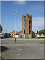
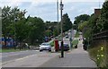
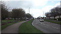
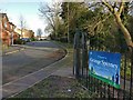
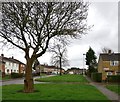
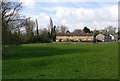
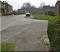
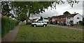
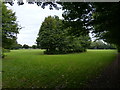
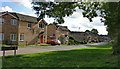
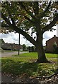
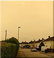
33 photos from this area
Area Information
Key information about the LE2 9FY including its size, population, and administrative classification.
- Area Type
- Postcode
- Area Size
- 9984 m²
- Population
- 1730
- Population Density
- 7076 people/km²
House Prices in LE2 9FY
30
Properties
£107,205
Average Sold Price
£23,500
Lowest Price
£185,000
Highest Price
Showing 30 properties
| Address | Type | Beds | Baths | Last Sale Price | Last Sale Date | |
|---|---|---|---|---|---|---|
| 189 Sturdee Road, Leicester, LE2 9FY | Terraced | 2 | 1 | £175,000 | Mar 2024 | |
| 175 Sturdee Road, Leicester, LE2 9FY | Terraced | 2 | 1 | £154,216 | Apr 2022 | |
| 183 Sturdee Road, Leicester, LE2 9FY | house | - | - | £185,000 | Mar 2022 | |
| 181 Sturdee Road, Leicester, LE2 9FY | house | - | - | £158,450 | Oct 2021 | |
| 187 Sturdee Road, Leicester, LE2 9FY | Terraced | 2 | 1 | £115,000 | Oct 2020 | |
| 199 Sturdee Road, Leicester, LE2 9FY | Semi-detached | 2 | - | £87,500 | Mar 2016 | |
| 219 Sturdee Road, Leicester, LE2 9FY | house | 2 | - | £85,000 | Jun 2013 | |
| 173 Sturdee Road, Leicester, LE2 9FY | house | - | - | £100,000 | Oct 2007 | |
| 195 Sturdee Road, Leicester, LE2 9FY | house | 2 | - | £70,000 | Aug 2007 | |
| 193 Sturdee Road, Leicester, LE2 9FY | house | - | - | £102,000 | Apr 2007 |
Page 1 of 3
Energy Efficiency in LE2 9FY
Amenities
Schools
| Rank | School | Type | Entry gender | Ages |
|---|
Explore more schools in this area
Go to Schools tabDemographics
Household Size
Family (3-5 people)
most common
Accommodation Type
Houses
most common
Tenure
46
majority
Ethnic Group
White
most common
Religion
N/A
most common
Household Composition
N/A
most common
Age
47
median
Adults (30-64 years)
most common
Household Deprivation
N/A
with no deprivation
NS-SEC
14
in Lower managerial occupations
Explore more demographic insights in this area
Go to Demographics tabPlanning
Planning Constraints
- Flood RiskPremium
- Ramsar Wetland SitesPremium
- Area of Outstanding Natural BeautyPremium
- Protected Nature ReservePremium
- Protected WoodlandPremium