Area Overview for LE2 9FZ
Photos of LE2 9FZ
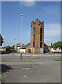
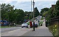
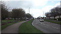
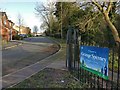
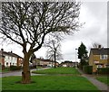
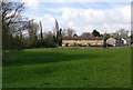
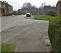
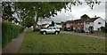
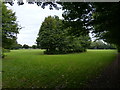
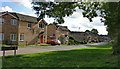
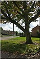
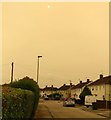
33 photos from this area
Area Information
Key information about the LE2 9FZ including its size, population, and administrative classification.
- Area Type
- Postcode
- Area Size
- 9997 m²
- Population
- 1556
- Population Density
- 4984 people/km²
House Prices in LE2 9FZ
32
Properties
£142,045
Average Sold Price
£80,000
Lowest Price
£205,000
Highest Price
Showing 32 properties
| Address | Type | Beds | Baths | Last Sale Price | Last Sale Date | |
|---|---|---|---|---|---|---|
| 255 Sturdee Road, Leicester, LE2 9FZ | Semi-detached | 3 | 1 | £205,000 | Jan 2024 | |
| 267 Sturdee Road, Leicester, LE2 9FZ | Terraced | 2 | 1 | £205,000 | Mar 2023 | |
| 237 Sturdee Road, Leicester, LE2 9FZ | Semi-detached | 2 | 1 | £187,500 | Feb 2023 | |
| 229 Sturdee Road, Leicester, LE2 9FZ | Terraced | 2 | - | £168,000 | Nov 2022 | |
| 249 Sturdee Road, Leicester, LE2 9FZ | house | - | - | £163,000 | Dec 2019 | |
| 241 Sturdee Road, Leicester, LE2 9FZ | Terraced | 3 | 1 | £138,000 | May 2018 | |
| 261 Sturdee Road, Leicester, LE2 9FZ | Detached | 2 | 1 | £140,000 | Dec 2017 | |
| 259 Sturdee Road, Leicester, LE2 9FZ | Terraced | 2 | 1 | £100,000 | Jan 2016 | |
| 253 Sturdee Road, Leicester, LE2 9FZ | house | - | - | £85,000 | Aug 2014 | |
| 263 Sturdee Road, Leicester, LE2 9FZ | Terraced | 3 | 1 | £80,000 | Jun 2012 |
Page 1 of 4
Energy Efficiency in LE2 9FZ
Amenities
Schools
| Rank | School | Type | Entry gender | Ages |
|---|
Explore more schools in this area
Go to Schools tabDemographics
Household Size
One person
most common
Accommodation Type
Houses
most common
Tenure
32
majority
Ethnic Group
White
most common
Religion
N/A
most common
Household Composition
N/A
most common
Age
47
median
Adults (30-64 years)
most common
Household Deprivation
N/A
with no deprivation
NS-SEC
12
in Lower managerial occupations
Explore more demographic insights in this area
Go to Demographics tabPlanning
Planning Constraints
- Flood RiskPremium
- Ramsar Wetland SitesPremium
- Area of Outstanding Natural BeautyPremium
- Protected Nature ReservePremium
- Protected WoodlandPremium