Area Overview for LE2 2RH
Photos of LE2 2RH
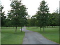
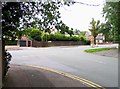
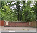
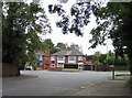
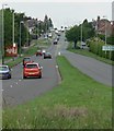
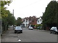
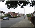
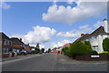
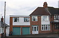
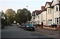
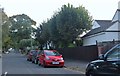
39 photos from this area
Area Information
Key information about the LE2 2RH including its size, population, and administrative classification.
- Area Type
- Postcode
- Area Size
- 3.9 hectares
- Population
- 2590
- Population Density
- 2039 people/km²
House Prices in LE2 2RH
18
Properties
£494,144
Average Sold Price
£147,000
Lowest Price
£1,100,000
Highest Price
Showing 18 properties
| Address | Type | Beds | Baths | Last Sale Price | Last Sale Date | |
|---|---|---|---|---|---|---|
| 8 Stoughton Drive South, Oadby, LE2 2RH | Detached | 5 | 3 | £1,100,000 | Jan 2024 | |
| 10 Stoughton Drive South, Oadby, LE2 2RH | Detached | - | - | £210,000 | Aug 2009 | |
| 2 Stoughton Drive South, Oadby, LE2 2RH | Detached | - | - | £490,000 | Nov 2007 | |
| 38 Stoughton Drive South, Oadby, LE2 2RH | house | - | - | £420,000 | Mar 2007 | |
| 24 Stoughton Drive South, Oadby, LE2 2RH | Detached | - | - | £850,000 | Nov 2005 | |
| 36 Stoughton Drive South, Oadby, LE2 2RH | Detached | - | - | £351,295 | Jul 2005 | |
| 6 Stoughton Drive South, Oadby, LE2 2RH | house | - | - | £489,000 | Feb 2005 | |
| 4 Stoughton Drive South, Oadby, LE2 2RH | house | - | - | £390,000 | Apr 1999 | |
| 12 Stoughton Drive South, Oadby, LE2 2RH | Bungalow | - | - | £147,000 | Oct 1995 | |
| 30 Stoughton Drive South, Oadby, LE2 2RH | Detached | 5 | 3 | - | - |
Page 1 of 2
Energy Efficiency in LE2 2RH
Amenities
Schools
| Rank | School | Type | Entry gender | Ages |
|---|
Explore more schools in this area
Go to Schools tabDemographics
Household Size
Family (3-5 people)
most common
Accommodation Type
Houses
most common
Tenure
93
majority
Ethnic Group
asian_total
most common
Religion
N/A
most common
Household Composition
N/A
most common
Age
22
median
Young Adults (15-29 years)
most common
Household Deprivation
N/A
with no deprivation
NS-SEC
29
in Lower managerial occupations
Explore more demographic insights in this area
Go to Demographics tabPlanning
Planning Constraints
- Flood RiskPremium
- Ramsar Wetland SitesPremium
- Area of Outstanding Natural BeautyPremium
- Protected Nature ReservePremium
- Protected WoodlandPremium