Area Overview for LE2 1WL
Photos of LE2 1WL
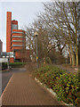
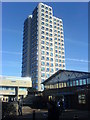
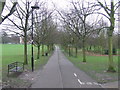
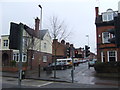
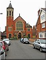

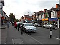
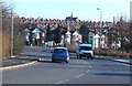

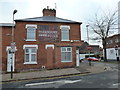
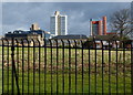
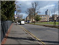
100 photos from this area
Area Information
Key information about the LE2 1WL including its size, population, and administrative classification.
- Area Type
- Postcode
- Area Size
- 5072 m²
- Population
- 1759
- Population Density
- 15430 people/km²
House Prices in LE2 1WL
37
Properties
£178,358
Average Sold Price
£60,000
Lowest Price
£305,000
Highest Price
Showing 37 properties
| Address | Type | Beds | Baths | Last Sale Price | Last Sale Date | |
|---|---|---|---|---|---|---|
| 51 Lytton Road, Leicester, LE2 1WL | Terraced | 3 | 1 | £270,000 | Mar 2025 | |
| 83 Lytton Road, Leicester, LE2 1WL | house | 4 | 1 | £305,000 | Mar 2025 | |
| 27 Lytton Road, Leicester, LE2 1WL | Terraced | 3 | 1 | £248,000 | Jul 2023 | |
| 25 Lytton Road, Leicester, LE2 1WL | Terraced | 3 | 1 | £250,000 | Jan 2022 | |
| 53 Lytton Road, Leicester, LE2 1WL | Terraced | 3 | - | £285,000 | Feb 2020 | |
| 73 Lytton Road, Leicester, LE2 1WL | Terraced | 2 | 1 | £222,000 | May 2018 | |
| 23 Lytton Road, Leicester, LE2 1WL | Terraced | 2 | 1 | £190,500 | Feb 2018 | |
| 47 Lytton Road, Leicester, LE2 1WL | Terraced | 3 | - | £240,000 | Mar 2017 | |
| 39 Lytton Road, Leicester, LE2 1WL | Terraced | 3 | 2 | £159,950 | Apr 2016 | |
| 59 Lytton Road, Leicester, LE2 1WL | Terraced | 3 | 1 | £205,000 | Jul 2015 |
Page 1 of 4
Energy Efficiency in LE2 1WL
Amenities
Schools
| Rank | School | Type | Entry gender | Ages |
|---|
Explore more schools in this area
Go to Schools tabDemographics
Household Size
Two person
most common
Accommodation Type
Houses
most common
Tenure
36
majority
Ethnic Group
White
most common
Religion
N/A
most common
Household Composition
N/A
most common
Age
22
median
Young Adults (15-29 years)
most common
Household Deprivation
N/A
with no deprivation
NS-SEC
29
in Lower managerial occupations
Explore more demographic insights in this area
Go to Demographics tabPlanning
Planning Constraints
- Flood RiskPremium
- Ramsar Wetland SitesPremium
- Area of Outstanding Natural BeautyPremium
- Protected Nature ReservePremium
- Protected WoodlandPremium