Area Overview for LE2 1XJ
Photos of LE2 1XJ
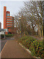
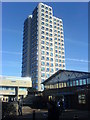
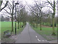
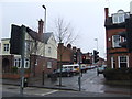
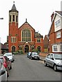
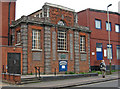
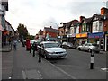
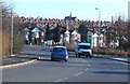
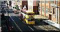
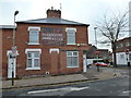
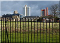
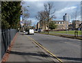
100 photos from this area
Area Information
Key information about the LE2 1XJ including its size, population, and administrative classification.
- Area Type
- Postcode
- Area Size
- 2714 m²
- Population
- 1759
- Population Density
- 15430 people/km²
House Prices in LE2 1XJ
21
Properties
£172,653
Average Sold Price
£44,000
Lowest Price
£367,000
Highest Price
Showing 21 properties
| Address | Type | Beds | Baths | Last Sale Price | Last Sale Date | |
|---|---|---|---|---|---|---|
| 150 Howard Road, Leicester, LE2 1XJ | Terraced | 3 | 1 | £232,500 | Dec 2025 | |
| 118 Howard Road, Leicester, LE2 1XJ | Terraced | 2 | 1 | £242,000 | Feb 2025 | |
| 124 Howard Road, Leicester, LE2 1XJ | Terraced | 2 | 1 | £255,000 | Nov 2023 | |
| 154 Howard Road, Leicester, LE2 1XJ | Semi-detached | 5 | 2 | £367,000 | Nov 2022 | |
| 126 Howard Road, Leicester, LE2 1XJ | house | 2 | - | £210,000 | Sep 2020 | |
| 148 Howard Road, Leicester, LE2 1XJ | Terraced | 3 | 1 | £240,000 | Dec 2019 | |
| 142 Howard Road, Leicester, LE2 1XJ | Terraced | 4 | 1 | £250,000 | Nov 2019 | |
| 116 Howard Road, Leicester, LE2 1XJ | Terraced | 4 | 1 | £198,000 | Sep 2016 | |
| 132 Howard Road, Leicester, LE2 1XJ | Terraced | 3 | 1 | £155,000 | Feb 2014 | |
| 122 Howard Road, Leicester, LE2 1XJ | Terraced | - | - | £150,000 | Feb 2009 |
Page 1 of 3
Energy Efficiency in LE2 1XJ
Amenities
Schools
| Rank | School | Type | Entry gender | Ages |
|---|
Explore more schools in this area
Go to Schools tabDemographics
Household Size
Two person
most common
Accommodation Type
Houses
most common
Tenure
36
majority
Ethnic Group
White
most common
Religion
N/A
most common
Household Composition
N/A
most common
Age
22
median
Young Adults (15-29 years)
most common
Household Deprivation
N/A
with no deprivation
NS-SEC
29
in Lower managerial occupations
Explore more demographic insights in this area
Go to Demographics tabPlanning
Planning Constraints
- Flood RiskPremium
- Ramsar Wetland SitesPremium
- Area of Outstanding Natural BeautyPremium
- Protected Nature ReservePremium
- Protected WoodlandPremium