Area Overview for LE19 2DE
Photos of LE19 2DE
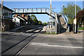
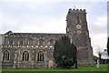
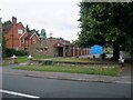
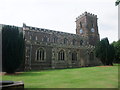
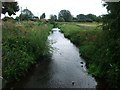
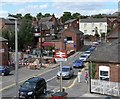
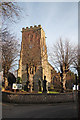
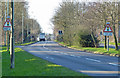
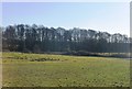
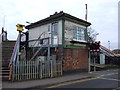
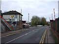
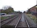
42 photos from this area
Area Information
Key information about the LE19 2DE including its size, population, and administrative classification.
- Area Type
- Postcode
- Area Size
- 4.0 hectares
- Population
- 1845
- Population Density
- 1710 people/km²
House Prices in LE19 2DE
53
Properties
£192,142
Average Sold Price
£46,061
Lowest Price
£340,000
Highest Price
Showing 53 properties
| Address | Type | Beds | Baths | Last Sale Price | Last Sale Date | |
|---|---|---|---|---|---|---|
| 70 Carlton Avenue, Narborough, LE19 2DE | Detached | 4 | 1 | £340,000 | Sep 2025 | |
| 5 Carlton Avenue, Narborough, LE19 2DE | house | 3 | 1 | £320,000 | Jun 2025 | |
| 74 Carlton Avenue, Narborough, LE19 2DE | Detached | 4 | 1 | £315,000 | Mar 2025 | |
| 34 Carlton Avenue, Narborough, LE19 2DE | Bungalow | 2 | 1 | £250,000 | Jan 2025 | |
| 52 Carlton Avenue, Narborough, LE19 2DE | Bungalow | 2 | - | £285,000 | Nov 2024 | |
| 44 Carlton Avenue, Narborough, LE19 2DE | Bungalow | 2 | 1 | £250,000 | Apr 2024 | |
| 27 Carlton Avenue, Narborough, LE19 2DE | Semi-detached | 3 | 1 | £299,000 | Apr 2024 | |
| 21 Carlton Avenue, Narborough, LE19 2DE | Detached | 3 | 1 | £290,000 | Feb 2023 | |
| 4 Carlton Avenue, Narborough, LE19 2DE | house | - | - | £223,000 | Dec 2020 | |
| 14 Carlton Avenue, Narborough, LE19 2DE | Semi-detached | 3 | - | £208,000 | Nov 2020 |
Page 1 of 6
Energy Efficiency in LE19 2DE
Amenities
Schools
| Rank | School | Type | Entry gender | Ages |
|---|
Explore more schools in this area
Go to Schools tabDemographics
Household Size
One person
most common
Accommodation Type
Houses
most common
Tenure
72
majority
Ethnic Group
White
most common
Religion
N/A
most common
Household Composition
N/A
most common
Age
47
median
Adults (30-64 years)
most common
Household Deprivation
N/A
with no deprivation
NS-SEC
40
in Lower managerial occupations
Explore more demographic insights in this area
Go to Demographics tabPlanning
Planning Constraints
- Flood RiskPremium
- Ramsar Wetland SitesPremium
- Area of Outstanding Natural BeautyPremium
- Protected Nature ReservePremium
- Protected WoodlandPremium