Area Overview for LE17 6EE
Photos of LE17 6EE
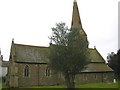
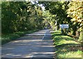
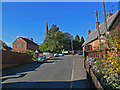
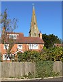
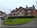
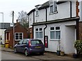
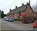
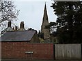
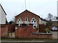
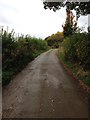
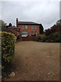
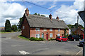
32 photos from this area
Area Information
Key information about the LE17 6EE including its size, population, and administrative classification.
- Area Type
- Postcode
- Area Size
- 2.4 hectares
- Population
- 1676
- Population Density
- 66 people/km²
House Prices in LE17 6EE
14
Properties
£248,500
Average Sold Price
£93,500
Lowest Price
£767,500
Highest Price
Showing 14 properties
| Address | Type | Beds | Baths | Last Sale Price | Last Sale Date | |
|---|---|---|---|---|---|---|
| Meadow View, Walcote Road, South Kilworth, LE17 6EE | Semi-detached | 3 | 1 | £265,000 | Aug 2023 | |
| Church Cottage, Walcote Road, South Kilworth, LE17 6EE | house | - | - | £767,500 | Dec 2021 | |
| Field View, Walcote Road, South Kilworth, LE17 6EE | Semi-detached | 3 | 1 | £135,000 | Jul 2009 | |
| Sideways Cottage, Walcote Road, South Kilworth, LE17 6EE | Character Property | 4 | 2 | £207,500 | May 2004 | |
| Amner House, Walcote Road, South Kilworth, LE17 6EE | Detached | - | - | £175,000 | Dec 2002 | |
| Acorn Cottage, Walcote Road, South Kilworth, LE17 6EE | Terraced | 2 | 1 | £130,000 | Sep 2002 | |
| Glebe House, Walcote Road, South Kilworth, LE17 6EE | Detached | - | - | £326,000 | Aug 2002 | |
| Firbank, Walcote Road, South Kilworth, LE17 6EE | Bungalow | - | - | £137,000 | Feb 2001 | |
| The Old Post House, Walcote Road, South Kilworth, LE17 6EE | house | - | - | £93,500 | Oct 1996 | |
| 1, Council Houses, Walcote Road, South Kilworth, LE17 6EE | house | - | - | - | - |
Page 1 of 2
Energy Efficiency in LE17 6EE
Amenities
Schools
| Rank | School | Type | Entry gender | Ages |
|---|
Explore more schools in this area
Go to Schools tabDemographics
Household Size
Two person
most common
Accommodation Type
Houses
most common
Tenure
78
majority
Ethnic Group
White
most common
Religion
N/A
most common
Household Composition
N/A
most common
Age
47
median
Adults (30-64 years)
most common
Household Deprivation
N/A
with no deprivation
NS-SEC
43
in Lower managerial occupations
Explore more demographic insights in this area
Go to Demographics tabPlanning
Planning Constraints
- Flood RiskPremium
- Ramsar Wetland SitesPremium
- Area of Outstanding Natural BeautyPremium
- Protected Nature ReservePremium
- Protected WoodlandPremium