Area Overview for LE17 6DR
Photos of LE17 6DR
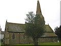
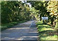
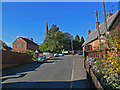
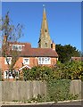
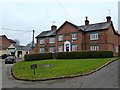
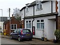
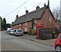
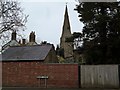
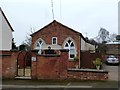
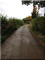
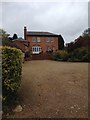
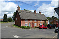
32 photos from this area
Area Information
Key information about the LE17 6DR including its size, population, and administrative classification.
- Area Type
- Postcode
- Area Size
- 1.5 hectares
- Population
- 1676
- Population Density
- 66 people/km²
House Prices in LE17 6DR
12
Properties
£501,875
Average Sold Price
£290,000
Lowest Price
£697,500
Highest Price
Showing 12 properties
| Address | Type | Beds | Baths | Last Sale Price | Last Sale Date | |
|---|---|---|---|---|---|---|
| Woodbank, North Road, South Kilworth, LE17 6DR | house | 4 | 2 | £520,000 | Jan 2025 | |
| Monte Bello, North Road, South Kilworth, LE17 6DR | house | - | - | £697,500 | Nov 2022 | |
| Squirrel Bank, North Road, South Kilworth, LE17 6DR | Detached | 4 | 2 | £290,000 | Mar 2006 | |
| Stoney Hollow, North Road, South Kilworth, LE17 6DR | Detached | - | - | £500,000 | Aug 2005 | |
| 2, Avon Court, North Road, South Kilworth, LE17 6DR | Bungalow | - | - | - | - | |
| 3, Avon Court, North Road, South Kilworth, LE17 6DR | Bungalow | - | - | - | - | |
| Holyoake, North Road, South Kilworth, LE17 6DR | house | - | - | - | - | |
| 4, Avon Court, North Road, South Kilworth, LE17 6DR | Bungalow | - | - | - | - | |
| 1, Avon Court, North Road, South Kilworth, LE17 6DR | Bungalow | - | - | - | - | |
| Brampton House, North Road, South Kilworth, LE17 6DR | Detached | - | - | - | - |
Page 1 of 2
Energy Efficiency in LE17 6DR
Amenities
Schools
| Rank | School | Type | Entry gender | Ages |
|---|
Explore more schools in this area
Go to Schools tabDemographics
Household Size
Two person
most common
Accommodation Type
Houses
most common
Tenure
78
majority
Ethnic Group
White
most common
Religion
N/A
most common
Household Composition
N/A
most common
Age
47
median
Adults (30-64 years)
most common
Household Deprivation
N/A
with no deprivation
NS-SEC
43
in Lower managerial occupations
Explore more demographic insights in this area
Go to Demographics tabPlanning
Planning Constraints
- Flood RiskPremium
- Ramsar Wetland SitesPremium
- Area of Outstanding Natural BeautyPremium
- Protected Nature ReservePremium
- Protected WoodlandPremium