Area Overview for LE17 4TU
Photos of LE17 4TU
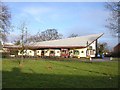
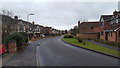
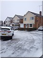
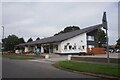
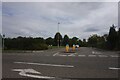
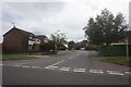
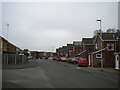
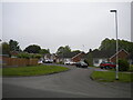

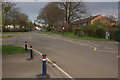
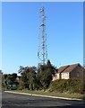

16 photos from this area
Area Information
Key information about the LE17 4TU including its size, population, and administrative classification.
- Area Type
- Postcode
- Area Size
- 1.8 hectares
- Population
- 2546
- Population Density
- 3070 people/km²
House Prices in LE17 4TU
37
Properties
£238,113
Average Sold Price
£59,999
Lowest Price
£475,000
Highest Price
Showing 37 properties
| Address | Type | Beds | Baths | Last Sale Price | Last Sale Date | |
|---|---|---|---|---|---|---|
| 14 Woodlea Avenue, Lutterworth, LE17 4TU | Detached | 3 | 1 | £320,000 | Aug 2025 | |
| 7 Woodlea Avenue, Lutterworth, LE17 4TU | Detached | 4 | 3 | £475,000 | Jun 2025 | |
| 13 Woodlea Avenue, Lutterworth, LE17 4TU | Detached | 3 | 1 | £265,000 | Dec 2024 | |
| 5 Woodlea Avenue, Lutterworth, LE17 4TU | house | - | - | £325,000 | Apr 2024 | |
| 37 Woodlea Avenue, Lutterworth, LE17 4TU | Detached | 4 | 2 | £415,000 | Jan 2023 | |
| 10 Woodlea Avenue, Lutterworth, LE17 4TU | house | - | - | £304,000 | May 2021 | |
| 4 Woodlea Avenue, Lutterworth, LE17 4TU | house | - | - | £225,000 | Mar 2021 | |
| 33 Woodlea Avenue, Lutterworth, LE17 4TU | house | - | - | £327,500 | Mar 2021 | |
| 32 Woodlea Avenue, Lutterworth, LE17 4TU | Detached | 4 | - | £330,000 | Feb 2021 | |
| 16 Woodlea Avenue, Lutterworth, LE17 4TU | Detached | 5 | - | £299,950 | Jan 2020 |
Page 1 of 4
Energy Efficiency in LE17 4TU
Amenities
Schools
| Rank | School | Type | Entry gender | Ages |
|---|
Explore more schools in this area
Go to Schools tabDemographics
Household Size
Two person
most common
Accommodation Type
Houses
most common
Tenure
88
majority
Ethnic Group
White
most common
Religion
N/A
most common
Household Composition
N/A
most common
Age
47
median
Adults (30-64 years)
most common
Household Deprivation
N/A
with no deprivation
NS-SEC
44
in Lower managerial occupations
Explore more demographic insights in this area
Go to Demographics tabPlanning
Planning Constraints
- Flood RiskPremium
- Ramsar Wetland SitesPremium
- Area of Outstanding Natural BeautyPremium
- Protected Nature ReservePremium
- Protected WoodlandPremium