Area Overview for LE17 4SA
Photos of LE17 4SA
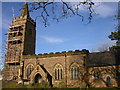
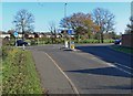
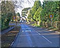
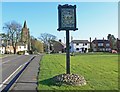
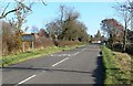
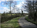
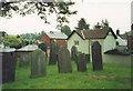
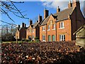
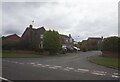
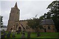
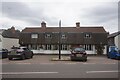
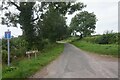
40 photos from this area
Area Information
Key information about the LE17 4SA including its size, population, and administrative classification.
- Area Type
- Postcode
- Area Size
- 48.3 hectares
- Population
- 2557
- Population Density
- 109 people/km²
House Prices in LE17 4SA
36
Properties
£388,188
Average Sold Price
£85,000
Lowest Price
£775,000
Highest Price
Showing 36 properties
| Address | Type | Beds | Baths | Last Sale Price | Last Sale Date | |
|---|---|---|---|---|---|---|
| Yeomans Lodge, Valley Lane, Bitteswell, LE17 4SA | Detached | 5 | 3 | £735,000 | Apr 2024 | |
| Grange House, Valley Lane, Bitteswell, LE17 4SA | Detached | 4 | - | £475,000 | May 2021 | |
| Dowell House, Valley Lane, Bitteswell, LE17 4SA | Detached | 6 | 5 | £755,000 | May 2019 | |
| Roseberry, Valley Lane, Bitteswell, LE17 4SA | Bungalow | - | - | £420,000 | Aug 2015 | |
| Delamere, Valley Lane, Bitteswell, LE17 4SA | Bungalow | - | - | £405,000 | Jan 2015 | |
| Bitteswell House, Valley Lane, Bitteswell, LE17 4SA | Semi-detached | 7 | 2 | £763,000 | Jan 2014 | |
| 4 Valley Lane, Bitteswell, LE17 4SA | Detached | - | - | £250,000 | Aug 2013 | |
| 25 Valley Lane, Bitteswell, LE17 4SA | Detached | - | - | £477,500 | Feb 2013 | |
| Lowfields, Valley Lane, Bitteswell, LE17 4SA | house | - | - | £228,000 | Jul 2011 | |
| 29 Valley Lane, Bitteswell, LE17 4SA | house | - | - | £485,000 | Sep 2006 |
Page 1 of 4
Energy Efficiency in LE17 4SA
Amenities
Schools
| Rank | School | Type | Entry gender | Ages |
|---|
Explore more schools in this area
Go to Schools tabDemographics
Household Size
Two person
most common
Accommodation Type
Houses
most common
Tenure
80
majority
Ethnic Group
White
most common
Religion
N/A
most common
Household Composition
N/A
most common
Age
47
median
Adults (30-64 years)
most common
Household Deprivation
N/A
with no deprivation
NS-SEC
43
in Lower managerial occupations
Explore more demographic insights in this area
Go to Demographics tabPlanning
Planning Constraints
- Flood RiskPremium
- Ramsar Wetland SitesPremium
- Area of Outstanding Natural BeautyPremium
- Protected Nature ReservePremium
- Protected WoodlandPremium