Area Overview for LE15 9FA
Photos of LE15 9FA
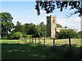
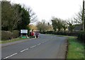
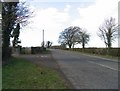
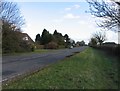
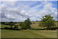
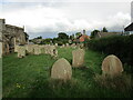
40 photos from this area
Area Information
Key information about the LE15 9FA including its size, population, and administrative classification.
- Area Type
- Postcode
- Area Size
- 5.6 hectares
- Population
- 1614
- Population Density
- 1032 people/km²
House Prices in LE15 9FA
30
Properties
£351,324
Average Sold Price
£90,000
Lowest Price
£497,500
Highest Price
Showing 30 properties
| Address | Type | Beds | Baths | Last Sale Price | Last Sale Date | |
|---|---|---|---|---|---|---|
| 17 Barfield Street, Uppingham, LE15 9FA | Detached | 3 | 2 | £345,000 | Jan 2022 | |
| 8 Barfield Street, Uppingham, LE15 9FA | house | - | - | £90,000 | Dec 2021 | |
| 18 Barfield Street, Uppingham, LE15 9FA | house | - | - | £497,500 | Aug 2021 | |
| 38 Barfield Street, Uppingham, LE15 9FA | house | - | - | £467,950 | Nov 2020 | |
| 16 Barfield Street, Uppingham, LE15 9FA | house | - | - | £464,950 | Sep 2020 | |
| 22 Barfield Street, Uppingham, LE15 9FA | house | - | - | £429,950 | Jun 2020 | |
| 24 Barfield Street, Uppingham, LE15 9FA | house | - | - | £409,950 | Jun 2020 | |
| 36 Barfield Street, Uppingham, LE15 9FA | house | - | - | £284,950 | Jun 2020 | |
| 40 Barfield Street, Uppingham, LE15 9FA | house | - | - | £432,950 | Jun 2020 | |
| 42 Barfield Street, Uppingham, LE15 9FA | house | - | - | £469,950 | Jun 2020 |
Page 1 of 3
Energy Efficiency in LE15 9FA
Amenities
Schools
| Rank | School | Type | Entry gender | Ages |
|---|
Explore more schools in this area
Go to Schools tabDemographics
Household Size
Two person
most common
Accommodation Type
Houses
most common
Tenure
61
majority
Ethnic Group
White
most common
Religion
N/A
most common
Household Composition
N/A
most common
Age
47
median
Adults (30-64 years)
most common
Household Deprivation
N/A
with no deprivation
NS-SEC
38
in Lower managerial occupations
Explore more demographic insights in this area
Go to Demographics tabPlanning
Planning Constraints
- Flood RiskPremium
- Ramsar Wetland SitesPremium
- Area of Outstanding Natural BeautyPremium
- Protected Nature ReservePremium
- Protected WoodlandPremium