Area Overview for LE12 8HT
Photos of LE12 8HT

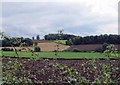
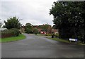
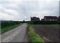
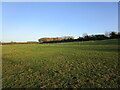


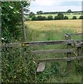
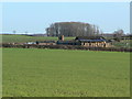
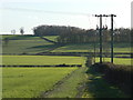
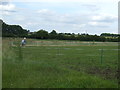
15 photos from this area
Area Information
Key information about the LE12 8HT including its size, population, and administrative classification.
- Area Type
- Postcode
- Area Size
- 39.5 hectares
- Population
- 1358
- Population Density
- 64 people/km²
House Prices in LE12 8HT
28
Properties
£460,295
Average Sold Price
£48,000
Lowest Price
£1,200,000
Highest Price
Showing 28 properties
| Address | Type | Beds | Baths | Last Sale Price | Last Sale Date | |
|---|---|---|---|---|---|---|
| The Old Manor House, 5 Loughborough Road, Walton On The Wolds, LE12 8HT | Detached | 6 | 3 | £1,200,000 | Jan 2025 | |
| 11 Loughborough Road, Walton On The Wolds, LE12 8HT | house | 5 | 4 | £960,000 | Jul 2024 | |
| 34 Loughborough Road, Walton On The Wolds, LE12 8HT | Semi-detached | 2 | 1 | £170,000 | Jul 2017 | |
| 37 Loughborough Road, Walton On The Wolds, LE12 8HT | Bungalow | 4 | 4 | £1,000,000 | Oct 2016 | |
| 33 Loughborough Road, Walton On The Wolds, LE12 8HT | Bungalow | 3 | - | £475,000 | Dec 2013 | |
| 25 Loughborough Road, Walton On The Wolds, LE12 8HT | house | 4 | - | £370,000 | Jun 2013 | |
| 19 Loughborough Road, Walton On The Wolds, LE12 8HT | Semi-detached | - | - | £150,000 | Jul 2004 | |
| 8 Loughborough Road, Walton On The Wolds, LE12 8HT | Semi-detached | 1 | 1 | £115,000 | Jul 2003 | |
| 21 Loughborough Road, Walton On The Wolds, LE12 8HT | Semi-detached | - | - | £114,950 | May 2001 | |
| 40 Loughborough Road, Walton On The Wolds, LE12 8HT | Semi-detached | - | - | £48,000 | Mar 1996 |
Page 1 of 3
Energy Efficiency in LE12 8HT
Amenities
Schools
| Rank | School | Type | Entry gender | Ages |
|---|
Explore more schools in this area
Go to Schools tabDemographics
Household Size
Two person
most common
Accommodation Type
Houses
most common
Tenure
86
majority
Ethnic Group
White
most common
Religion
N/A
most common
Household Composition
N/A
most common
Age
47
median
Adults (30-64 years)
most common
Household Deprivation
N/A
with no deprivation
NS-SEC
49
in Lower managerial occupations
Explore more demographic insights in this area
Go to Demographics tabPlanning
Planning Constraints
- Flood RiskPremium
- Ramsar Wetland SitesPremium
- Area of Outstanding Natural BeautyPremium
- Protected Nature ReservePremium
- Protected WoodlandPremium