Area Overview for LE12 5SF
Photos of LE12 5SF

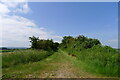
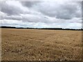
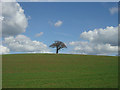
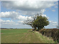
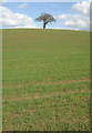
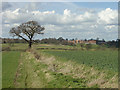
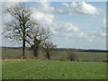
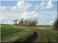
20 photos from this area
Area Information
Key information about the LE12 5SF including its size, population, and administrative classification.
- Area Type
- Postcode
- Area Size
- 3.3 km²
- Population
- 1358
- Population Density
- 64 people/km²
House Prices in LE12 5SF
41
Properties
£407,162
Average Sold Price
£14,000
Lowest Price
£920,000
Highest Price
Showing 41 properties
| Address | Type | Beds | Baths | Last Sale Price | Last Sale Date | |
|---|---|---|---|---|---|---|
| 20 Loughborough Road, Hoton, LE12 5SF | house | - | - | £920,000 | Dec 2023 | |
| 35 Loughborough Road, Hoton, LE12 5SF | Bungalow | - | - | £390,000 | Sep 2020 | |
| 21 Loughborough Road, Hoton, LE12 5SF | Bungalow | - | - | £338,000 | Jul 2019 | |
| 32 Loughborough Road, Hoton, LE12 5SF | house | 4 | - | £387,500 | Aug 2018 | |
| 2 Loughborough Road, Hoton, LE12 5SF | Detached | - | - | £640,000 | Aug 2018 | |
| Rose Farmhouse, 22 Loughborough Road, Hoton, LE12 5SF | house | - | - | £686,000 | Jul 2018 | |
| Hoton Hills Farm, 76 Loughborough Road, Hoton, LE12 5SF | house | 7 | 4 | £800,000 | Jun 2018 | |
| 30 Loughborough Road, Hoton, LE12 5SF | house | - | - | £367,500 | Nov 2014 | |
| Falcon House, 38 Loughborough Road, Hoton, LE12 5SF | house | 5 | - | £438,250 | Mar 2013 | |
| 33 Loughborough Road, Hoton, LE12 5SF | house | - | - | £257,000 | Dec 2009 |
Page 1 of 5
Energy Efficiency in LE12 5SF
Amenities
Schools
| Rank | School | Type | Entry gender | Ages |
|---|
Explore more schools in this area
Go to Schools tabDemographics
Household Size
Two person
most common
Accommodation Type
Houses
most common
Tenure
86
majority
Ethnic Group
White
most common
Religion
N/A
most common
Household Composition
N/A
most common
Age
47
median
Adults (30-64 years)
most common
Household Deprivation
N/A
with no deprivation
NS-SEC
49
in Lower managerial occupations
Explore more demographic insights in this area
Go to Demographics tabPlanning
Planning Constraints
- Flood RiskPremium
- Ramsar Wetland SitesPremium
- Area of Outstanding Natural BeautyPremium
- Protected Nature ReservePremium
- Protected WoodlandPremium