Area Overview for LE11 3JT
Photos of LE11 3JT
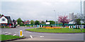
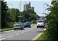
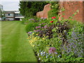


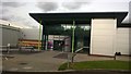
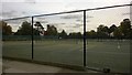
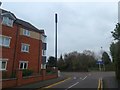
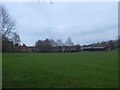
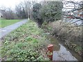
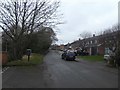

37 photos from this area
Area Information
Key information about the LE11 3JT including its size, population, and administrative classification.
- Area Type
- Postcode
- Area Size
- 1.4 hectares
- Population
- 2292
- Population Density
- 3586 people/km²
House Prices in LE11 3JT
25
Properties
£251,420
Average Sold Price
£77,500
Lowest Price
£550,000
Highest Price
Showing 25 properties
| Address | Type | Beds | Baths | Last Sale Price | Last Sale Date | |
|---|---|---|---|---|---|---|
| 54 Highfields Drive, Loughborough, LE11 3JT | house | 3 | 1 | £362,000 | Jul 2025 | |
| 38 Highfields Drive, Loughborough, LE11 3JT | house | - | - | £287,500 | Feb 2023 | |
| 56 Highfields Drive, Loughborough, LE11 3JT | Detached | 3 | 1 | £441,000 | Jan 2023 | |
| 2 Highfields Drive, Loughborough, LE11 3JT | house | - | - | £550,000 | Oct 2022 | |
| 16 Highfields Drive, Loughborough, LE11 3JT | Bungalow | - | - | £400,000 | Aug 2022 | |
| 40 Highfields Drive, Loughborough, LE11 3JT | house | 3 | - | £298,950 | Apr 2021 | |
| 20 Highfields Drive, Loughborough, LE11 3JT | house | 5 | - | £275,000 | Sep 2014 | |
| 46 Highfields Drive, Loughborough, LE11 3JT | house | - | - | £156,660 | Feb 2012 | |
| 18 Highfields Drive, Loughborough, LE11 3JT | Bungalow | - | - | £297,500 | Aug 2010 | |
| 4 Highfields Drive, Loughborough, LE11 3JT | house | - | - | £200,000 | Jan 2010 |
Page 1 of 3
Energy Efficiency in LE11 3JT
Amenities
Schools
| Rank | School | Type | Entry gender | Ages |
|---|
Explore more schools in this area
Go to Schools tabDemographics
Household Size
Family (3-5 people)
most common
Accommodation Type
Houses
most common
Tenure
81
majority
Ethnic Group
White
most common
Religion
N/A
most common
Household Composition
N/A
most common
Age
22
median
Young Adults (15-29 years)
most common
Household Deprivation
N/A
with no deprivation
NS-SEC
23
in Lower managerial occupations
Explore more demographic insights in this area
Go to Demographics tabPlanning
Planning Constraints
- Flood RiskPremium
- Ramsar Wetland SitesPremium
- Area of Outstanding Natural BeautyPremium
- Protected Nature ReservePremium
- Protected WoodlandPremium