Area Overview for LE11 2RB
Photos of LE11 2RB
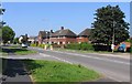
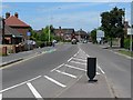
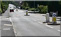
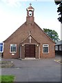
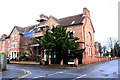
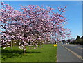
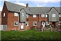
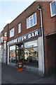
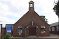
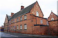
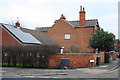
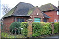
46 photos from this area
Area Information
Key information about the LE11 2RB including its size, population, and administrative classification.
- Area Type
- Postcode
- Area Size
- 2.9 hectares
- Population
- 1491
- Population Density
- 2948 people/km²
House Prices in LE11 2RB
11
Properties
£145,250
Average Sold Price
£37,000
Lowest Price
£335,000
Highest Price
Showing 11 properties
| Address | Type | Beds | Baths | Last Sale Price | Last Sale Date | |
|---|---|---|---|---|---|---|
| 154 Beacon Road, Loughborough, LE11 2RB | house | - | - | £335,000 | Jun 2021 | |
| 158 Beacon Road, Loughborough, LE11 2RB | house | - | - | £195,000 | Dec 2010 | |
| 146 Beacon Road, Loughborough, LE11 2RB | Semi-detached | 3 | 1 | £167,500 | Dec 2009 | |
| 148 Beacon Road, Loughborough, LE11 2RB | Semi-detached | 3 | 2 | £70,000 | Nov 2000 | |
| 156 Beacon Road, Loughborough, LE11 2RB | Semi-detached | - | - | £37,000 | Jun 1997 | |
| 162 Beacon Road, Loughborough, LE11 2RB | Detached | - | - | £67,000 | Dec 1995 | |
| 150 Beacon Road, Loughborough, LE11 2RB | house | 3 | 2 | - | - | |
| Managers Accommodation, The Beacon Inn, Beacon Road, Loughborough, LE11 2RB | Flat | - | - | - | - | |
| 152 Beacon Road, Loughborough, LE11 2RB | Detached | - | - | - | - | |
| 160 Beacon Road, Loughborough, LE11 2RB | Detached | - | - | - | - |
Page 1 of 2
Energy Efficiency in LE11 2RB
Amenities
Schools
| Rank | School | Type | Entry gender | Ages |
|---|
Explore more schools in this area
Go to Schools tabDemographics
Household Size
Two person
most common
Accommodation Type
Houses
most common
Tenure
85
majority
Ethnic Group
White
most common
Religion
N/A
most common
Household Composition
N/A
most common
Age
47
median
Adults (30-64 years)
most common
Household Deprivation
N/A
with no deprivation
NS-SEC
35
in Lower managerial occupations
Explore more demographic insights in this area
Go to Demographics tabPlanning
Planning Constraints
- Flood RiskPremium
- Ramsar Wetland SitesPremium
- Area of Outstanding Natural BeautyPremium
- Protected Nature ReservePremium
- Protected WoodlandPremium