Area Overview for LE10 0HU
Photos of LE10 0HU
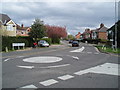
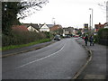
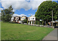
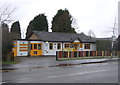
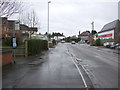
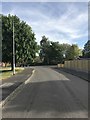
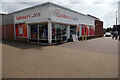
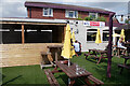
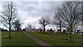
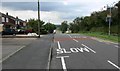
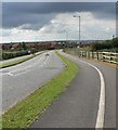
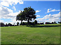
23 photos from this area
Area Information
Key information about the LE10 0HU including its size, population, and administrative classification.
- Area Type
- Postcode
- Area Size
- 2.0 hectares
- Population
- 1880
- Population Density
- 4230 people/km²
House Prices in LE10 0HU
45
Properties
£165,385
Average Sold Price
£29,950
Lowest Price
£333,500
Highest Price
Showing 45 properties
| Address | Type | Beds | Baths | Last Sale Price | Last Sale Date | |
|---|---|---|---|---|---|---|
| 59 Wykin Road, Hinckley, LE10 0HU | Semi-detached | 3 | 1 | £248,000 | Sep 2025 | |
| 13A Wykin Road, Hinckley, LE10 0HU | Bungalow | 2 | 1 | £245,000 | Jan 2025 | |
| 25 Wykin Road, Hinckley, LE10 0HU | Semi-detached | 2 | 1 | £205,000 | May 2024 | |
| 67 Wykin Road, Hinckley, LE10 0HU | Semi-detached | 3 | 1 | £210,000 | Oct 2023 | |
| 1 Wykin Road, Hinckley, LE10 0HU | house | 4 | 2 | £333,500 | Apr 2022 | |
| 53 Wykin Road, Hinckley, LE10 0HU | Semi-detached | 3 | 1 | £195,000 | Feb 2022 | |
| 7 Wykin Road, Hinckley, LE10 0HU | house | - | - | £300,000 | Sep 2021 | |
| 5 Wykin Road, Hinckley, LE10 0HU | house | - | - | £160,000 | Sep 2021 | |
| 31 Wykin Road, Hinckley, LE10 0HU | Semi-detached | 3 | 1 | £152,500 | Sep 2018 | |
| 49 Wykin Road, Hinckley, LE10 0HU | Semi-detached | 4 | 2 | £180,000 | May 2017 |
Page 1 of 5
Energy Efficiency in LE10 0HU
Amenities
Schools
| Rank | School | Type | Entry gender | Ages |
|---|
Explore more schools in this area
Go to Schools tabDemographics
Household Size
Two person
most common
Accommodation Type
Houses
most common
Tenure
62
majority
Ethnic Group
White
most common
Religion
N/A
most common
Household Composition
N/A
most common
Age
47
median
Adults (30-64 years)
most common
Household Deprivation
N/A
with no deprivation
NS-SEC
24
in Lower managerial occupations
Explore more demographic insights in this area
Go to Demographics tabPlanning
Planning Constraints
- Flood RiskPremium
- Ramsar Wetland SitesPremium
- Area of Outstanding Natural BeautyPremium
- Protected Nature ReservePremium
- Protected WoodlandPremium