Area Overview for LE10 0EA
Photos of LE10 0EA
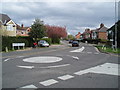
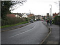
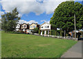
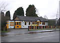
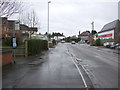
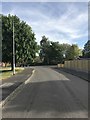
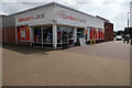
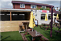
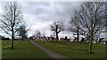
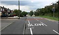
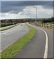
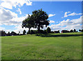
23 photos from this area
Area Information
Key information about the LE10 0EA including its size, population, and administrative classification.
- Area Type
- Postcode
- Area Size
- 2.6 hectares
- Population
- 2274
- Population Density
- 660 people/km²
House Prices in LE10 0EA
42
Properties
£180,656
Average Sold Price
£48,500
Lowest Price
£494,000
Highest Price
Showing 42 properties
| Address | Type | Beds | Baths | Last Sale Price | Last Sale Date | |
|---|---|---|---|---|---|---|
| 26 Stoke Road, Hinckley, LE10 0EA | house | 3 | 1 | £180,000 | Feb 2022 | |
| 15 Stoke Road, Hinckley, LE10 0EA | Bungalow | 3 | 2 | £247,000 | May 2018 | |
| 11 Stoke Road, Hinckley, LE10 0EA | Bungalow | 3 | 1 | £494,000 | Dec 2017 | |
| 14 Stoke Road, Hinckley, LE10 0EA | Detached | 4 | 1 | £270,000 | Oct 2017 | |
| 22 Stoke Road, Hinckley, LE10 0EA | Detached | 3 | 1 | £179,950 | May 2016 | |
| 21 Stoke Road, Hinckley, LE10 0EA | Bungalow | 3 | - | £195,000 | Aug 2015 | |
| 18 Stoke Road, Hinckley, LE10 0EA | Detached | 3 | 1 | £225,000 | Aug 2014 | |
| 12 Stoke Road, Hinckley, LE10 0EA | Detached | 4 | - | £187,500 | May 2014 | |
| 34 Stoke Road, Hinckley, LE10 0EA | house | - | - | £229,750 | Sep 2013 | |
| 16 Stoke Road, Hinckley, LE10 0EA | house | - | - | £189,000 | Jul 2012 |
Page 1 of 5
Energy Efficiency in LE10 0EA
Amenities
Schools
| Rank | School | Type | Entry gender | Ages |
|---|
Explore more schools in this area
Go to Schools tabDemographics
Household Size
Family (3-5 people)
most common
Accommodation Type
Houses
most common
Tenure
81
majority
Ethnic Group
White
most common
Religion
N/A
most common
Household Composition
N/A
most common
Age
47
median
Adults (30-64 years)
most common
Household Deprivation
N/A
with no deprivation
NS-SEC
32
in Lower managerial occupations
Explore more demographic insights in this area
Go to Demographics tabPlanning
Planning Constraints
- Flood RiskPremium
- Ramsar Wetland SitesPremium
- Area of Outstanding Natural BeautyPremium
- Protected Nature ReservePremium
- Protected WoodlandPremium